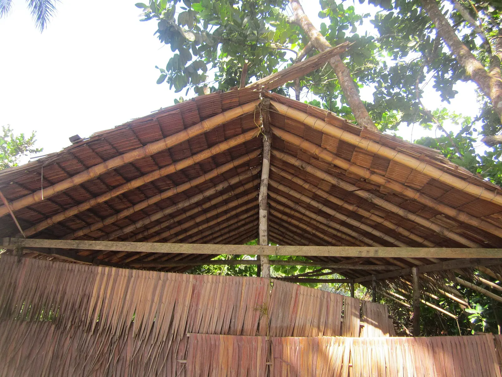
A historic village on the coast
Grand Batanga lies on the Atlantic just south of Kribi. OpenStreetMap shows two villages, Grand Batanga I and II, along the coast road about 10 km south of Kribi town in a straight line. UN Tourism describes it as a historic site, once the capital of the Batanga people, with fine beaches. Grand Batanga was one of three sites in an ecotourism project around Kribi. That project began with a 2011 study and its fieldwork ran from 2012 to 2016.1,8
A 2023 history paper from the University of Yaoundé I says European witnesses of the mid-1800s saw the Batanga as the coastal people of southern Cameroon, trading with Europeans from about 1840. They sold ivory that came from peoples further inland. It also records Mabea groups settling along the coast between Grand-Batanga and the Lokoundjé. In May 2026 Kribi held a ceremony, with German, French and British diplomats, to remember the forced exile of the Batanga under German colonial rule some 110 years earlier.3,4
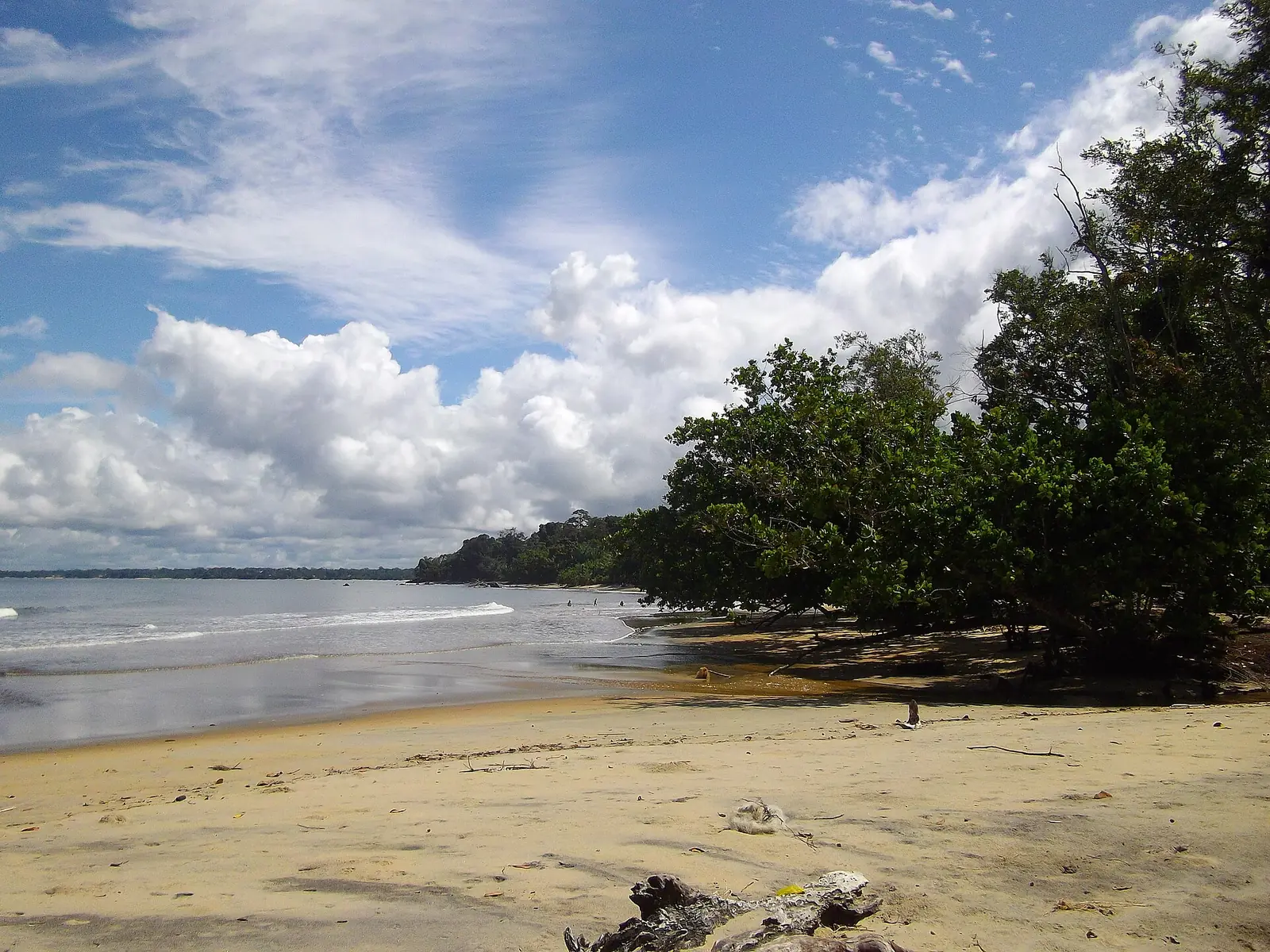
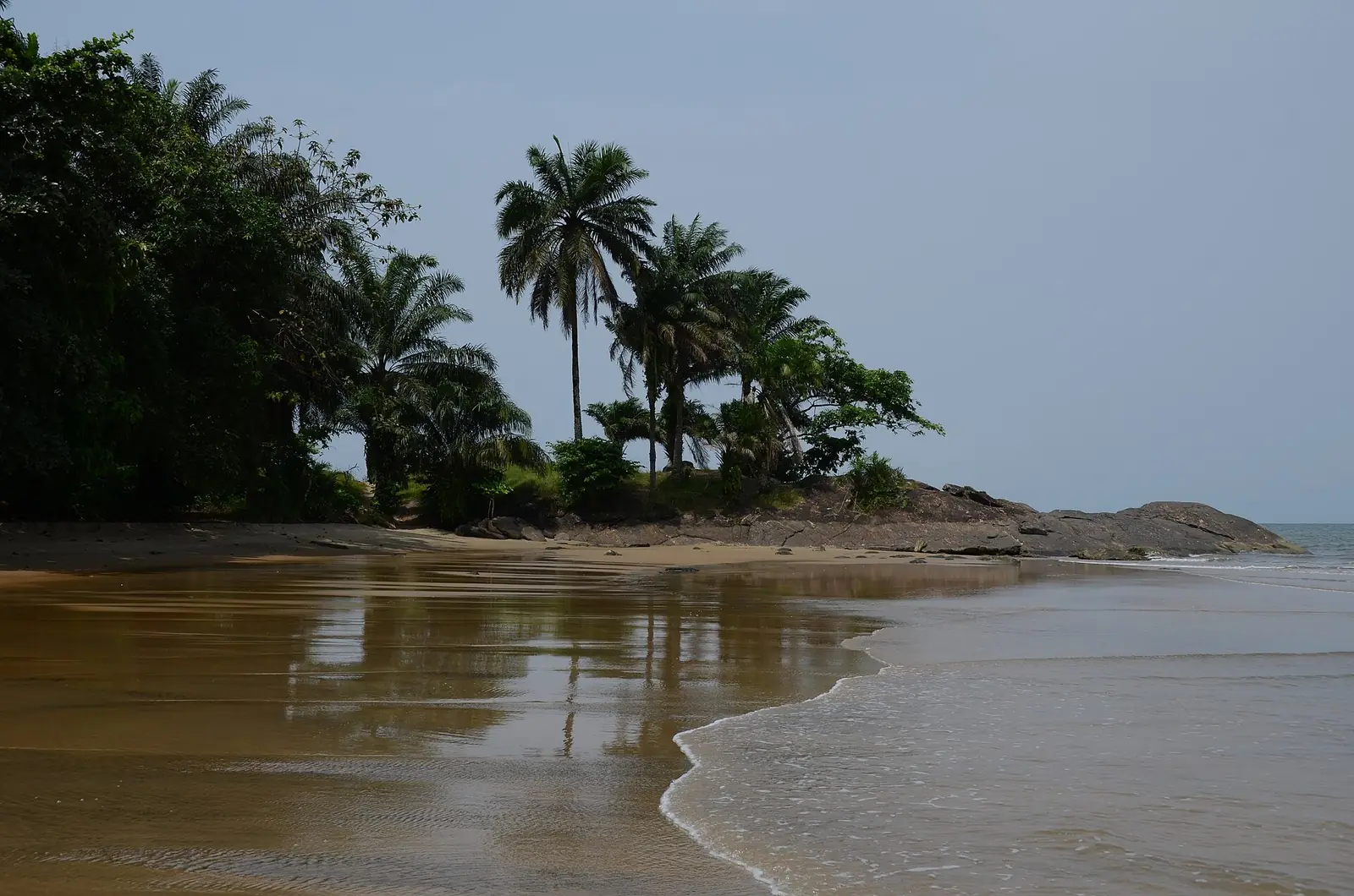
Wikipedia, citing a 2007 mining company presentation, says the village was considered as a possible deep-water port for iron ore from Mbalam. Kribi's deep-sea port was later built further south, and Wikivoyage notes that the port and offshore oil platforms can be seen from Grand Batanga beach.2,5
The beach
How to get there
In pictures
Map
What visitors say
We summarise accounts published elsewhere and link to the original. These aren't reviews collected by this site, and we don't show a rating.
We haven't yet found a published visitor account for this place.
Check before you go
Our sources can't yet confirm these points:
- Exact dates of the Batanga exile under German rule (the 2026 article gives only '110 years' earlier)
- Whether the beach has facilities, and current food and lodging options
- Public transport between Kribi and Grand Batanga
- Whether Batanga festivals or chiefdom events are held here, and when
Also nearby
Sources for this page
Information checked on 9 November 2026. It may have changed since.
- Développement de produits écotouristiques dans la région de Kribi (Cameroun), UN Tourism (10 November 2016)
- Grand Batanga, Wikipedia (undated)
- Effects of commercial migrations on the settlement of South Cameroon between 1840 and 1887 (Alphonse Kisito Bouh Ma Sitna, University of Yaoundé I), Revista Universitară de Sociologie (2023)
- Kribi : 110 ans après l'exil des Batanga, une mémoire toujours vive, Journal du Cameroun (11 May 2026)
- Kribi, Wikivoyage (undated)
- Voyage plage au Cameroun (tour operator page), Evaneos (undated)
- Kribi, Wikipedia (undated)
- Nominatim search: Grand Batanga, OpenStreetMap (9 November 2026)
Enquire about Grand Batanga
Visit Grand Batanga
Plan your trip to Grand Batanga in the South Region. Send us an enquiry about guided tours, accommodation and transport, and we'll reply by email.
Send an enquirySouth Region
Capital: Ebolowa
Rainforest and Atlantic coast, from the beaches of Kribi and the Lobé Falls to Campo Ma'an National Park and the cocoa country around Ebolowa.
More places in the South Region
Nkolandom
In a forested hollow 18 km from Ebolowa, Nkolandom is a village with a tourist centre, an artificial lake with canoe rides, caves in the surrounding hills and a museum of African art.
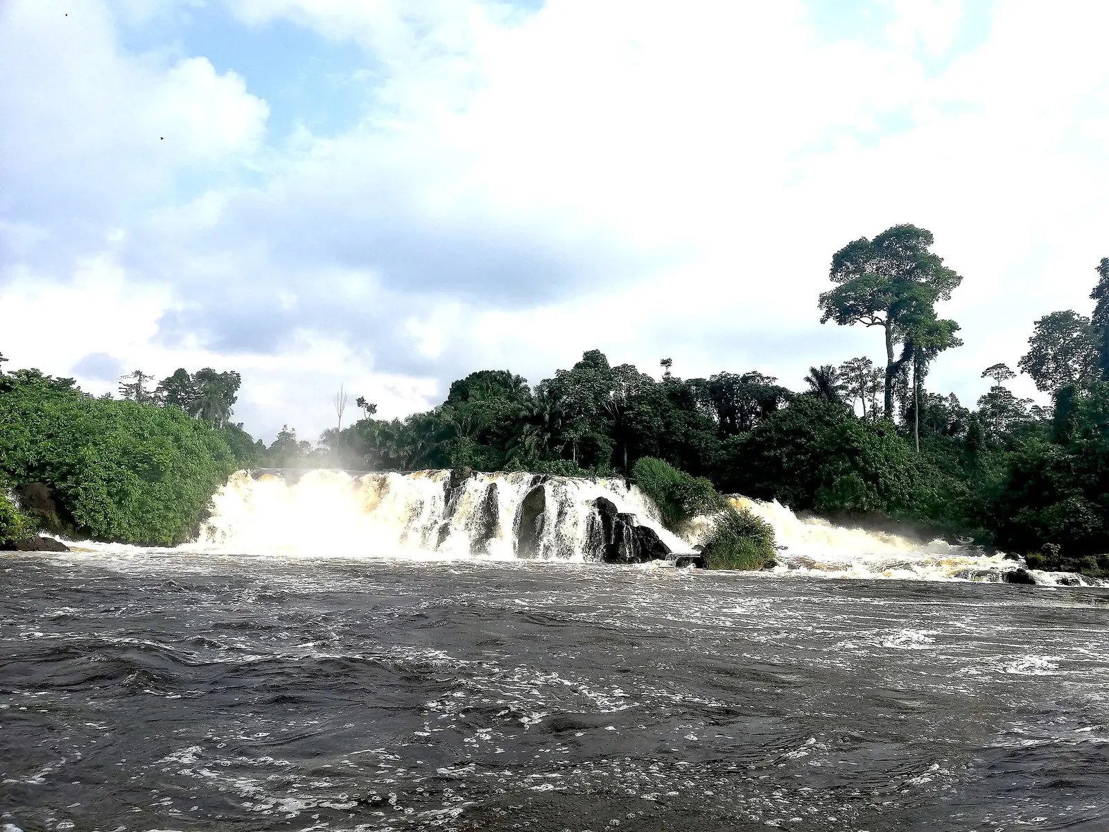
Kribi Beach and Lobé Falls
A beach town on the Gulf of Guinea, where the Lobé River reaches the Atlantic through a series of cascades, a rare sight and a place of ritual for local peoples.
Campo Ma'an National Park
A national park of about 264,000 hectares between the Atlantic and the Equatorial Guinea border, with forest elephants, western lowland gorillas, chimpanzees and mandrills. Visitor facilities are limited and access is by rough road.
Ebodjé
A fishing village on the Atlantic, north of Campo, where the community group Tube Awu protects the nests of olive ridley and leatherback turtles.