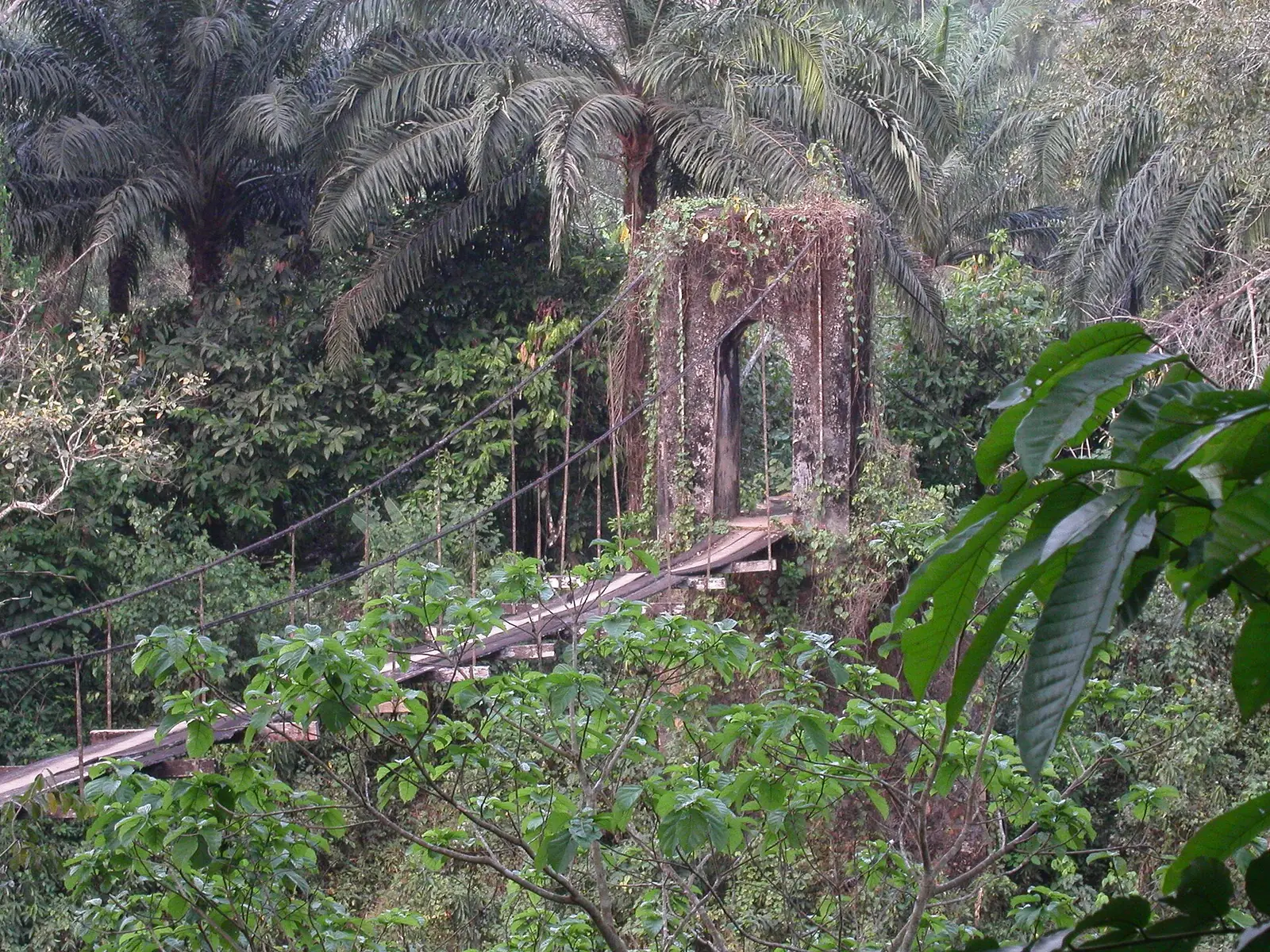
Manyu, the Southwest's largest division: the Cross River valley around Mamfe and the Takamanda forests on the Nigerian border.
Subdivisions of Manyu Division
Manyu Division has 4 subdivisions.
Akwaya
Chief town: Akwaya
Eyumojock
Chief town: Eyumojock
Mamfe
Chief town: Mamfe
Upper Bayang
Chief town: Tinto
Where it is and what it's like
Manyu is the region's largest division, at 9,565 km², and the most thinly settled, with 18.93 people per km² in 2005. Its river, the Manyu, becomes the Cross River in Nigeria; the statistics office lists it among the region's rivers that are navigable in their lower reaches. Upstream of Mamfe it drains a basin of 6,810 km². The statistics office places Korup National Park between Eyumojock and Mundemba, in neighbouring Ndian.1,6
Takamanda National Park, set up in 2008 from a forest reserve dating from 1934, covers 67,599 hectares of rainforest and river valleys along the Nigerian border. It protects the Cross River gorilla, the most endangered gorilla subspecies, with about 200 to 250 left.5
Peoples and languages
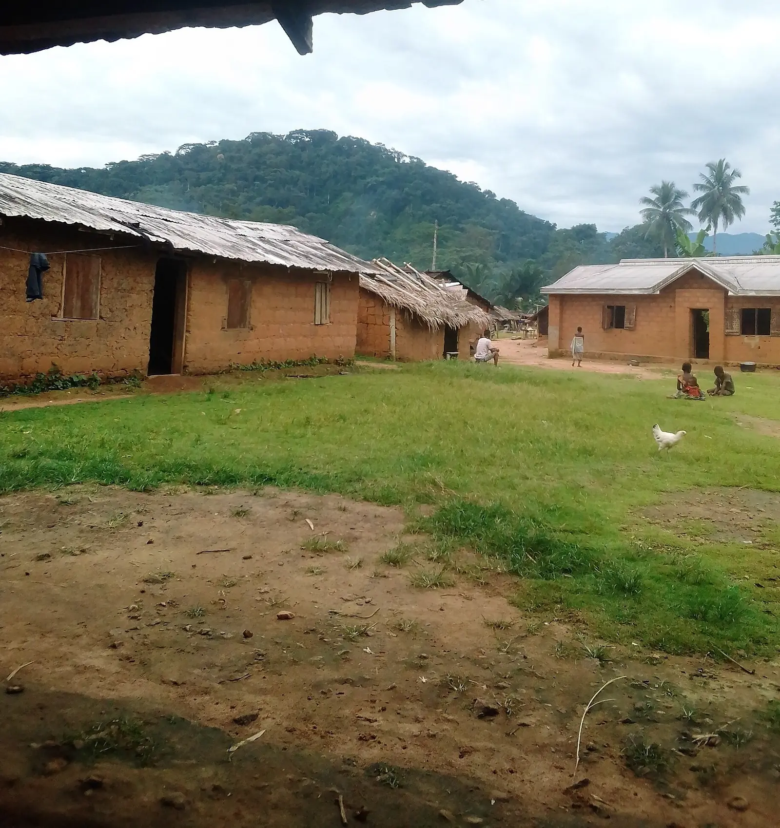
The 2005 census counted 181,039 people: 85,914 in Akwaya, 35,999 in Eyumojock, 31,641 in Mamfe and 27,485 in Upper Bayang. Kenyang, the language of the Bayangi, is spoken in Mamfe, Eyumojock and Upper Bayang; the speaker figure cited, 65,000, dates from 1992. The Ejagham, or Ekoi, live mainly in Eyumojock subdivision and are seen as the likely creators of the Nsibidi script.1,7,8
History and heritage
The Germans first reached the area by the Cross River, and a bridge from the German colonial era crosses the river at Mamfe. Traditional institutions there include Obasinjom and the Ekpe society. Mamfe is also home to Queen of the Rosary college, described as Cameroon's first girls' boarding school. Osidimbea dates the division to 1963.4,9
Main towns
In pictures
Map
Still to confirm
Our sources can't yet confirm these points:
- The decree and year creating the division (Osidimbea gives 1963)
- The official spelling of Upper Bayang (or Upper Banyang) and Eyumojock (or Eyumodjock)
- A current population count: the latest census is from 2005, and Mamfe's 2024 figure is an estimate
Sources for this page
Information checked on 19 November 2026. It may have changed since.
- Annuaire statistique de la région du Sud-Ouest, édition 2023: chapter 1 (relief, rivers), Tableau 2-1 (subdivisions by division, source MINAT), Tableaux 4-2, 4-3 and 4-10 (area, population, 2005 census by subdivision), Institut national de la statistique, Agence régionale du Sud-Ouest (undated)
- Département de la Manyu, Osidimbea (19 November 2026)
- Manyu (department), Wikipedia (19 November 2026)
- Mamfe, Wikipedia (19 November 2026)
- Takamanda National Park, Wikipedia (19 November 2026)
- Cross River (Nigeria), Wikipedia (19 November 2026)
- Kenyang language, Wikipedia (19 November 2026)
- Ekoi people, Wikipedia (19 November 2026)
- Région du Sud-Ouest: les départements, Osidimbea (19 November 2026)