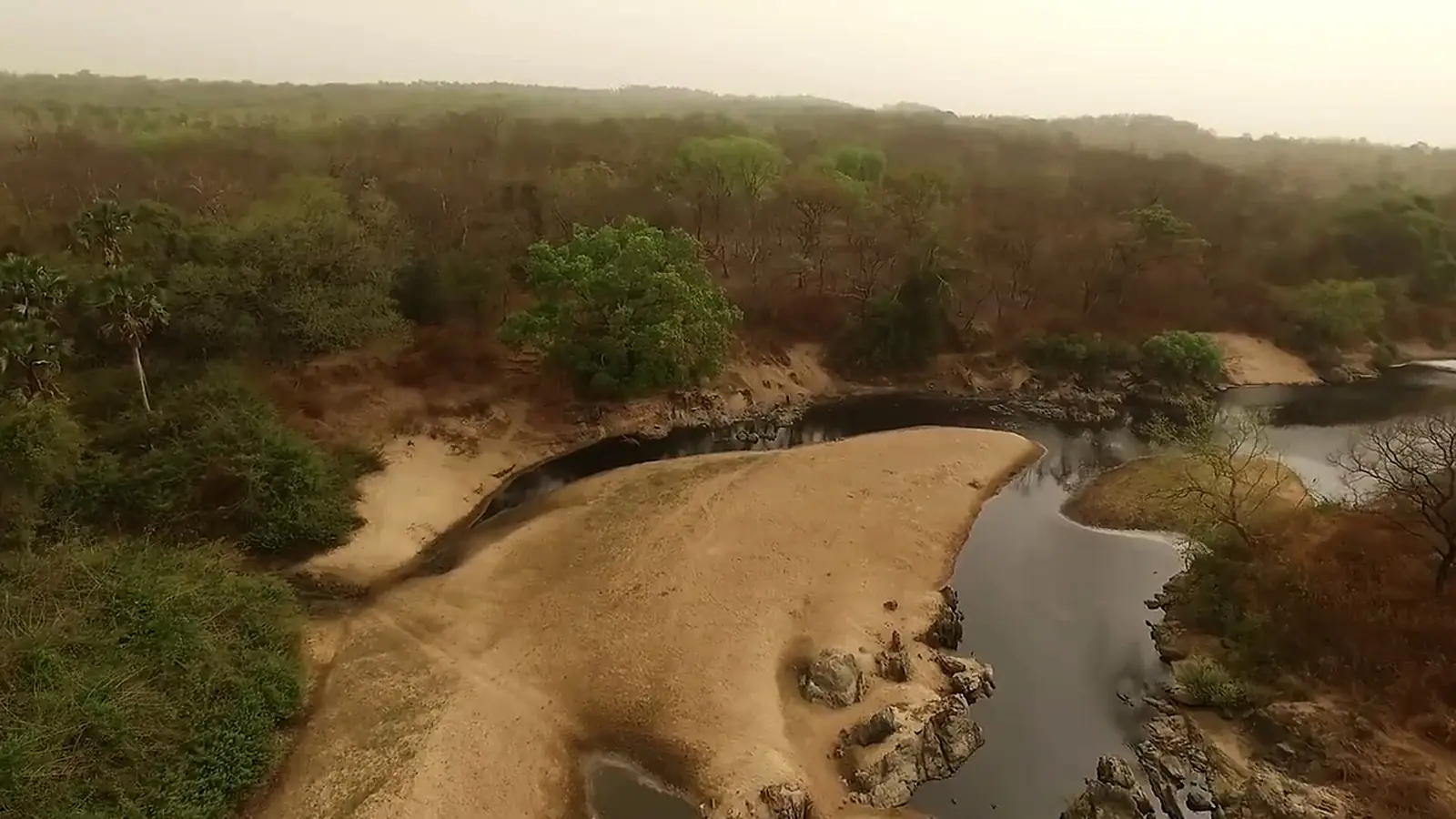
Mayo-Rey, the North region's largest division: the Rey Bouba lamidate and palace, Bouba Ndjida and Bénoué parks, Tcholliré and Touboro.
Subdivisions of Mayo-Rey Division
Mayo-Rey Division has 4 subdivisions.
Tcholliré
Chief town: Tcholliré
Rey-Bouba
Chief town: Rey Bouba
Touboro
Chief town: Touboro
Madingring
Chief town: Madingring
Places in Mayo-Rey Division
Where it is and what it's like
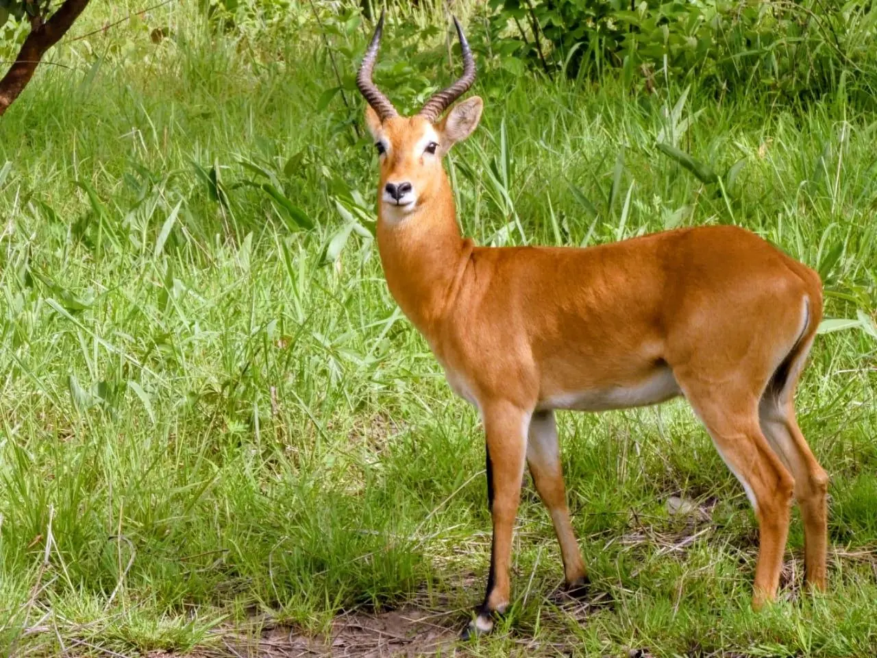
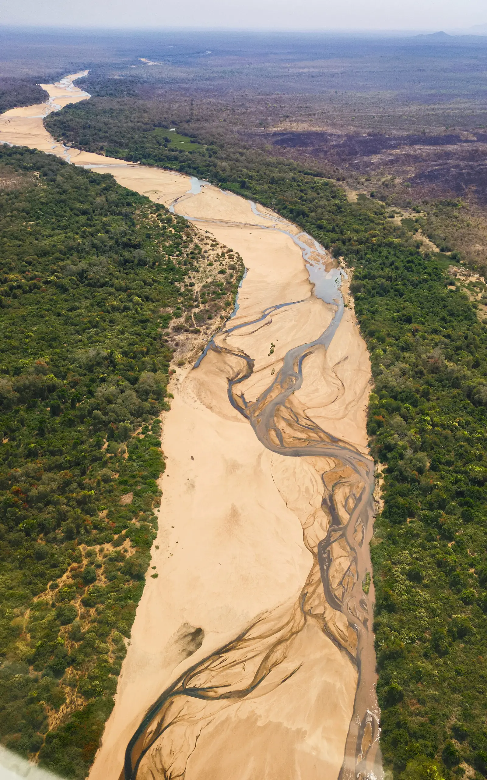
Mayo-Rey is by far the North region's largest division: 36,529 km² out of the 66,013 km² the statistics office gives for the whole region, with an estimated 16 people per km² in 2018. Touboro alone covers 15,229 km². The low plain of 200 to 300 m that the office describes runs from Faro into Mayo-Rey. Tcholliré stands at about 393 m, French Wikipedia says, and Bouba Ndjida National Park ranges from 251 to 864 m, with about 1,082 mm of rain a year, according to English Wikipedia.1,3,6
People
The statistics office estimates 589,067 people for 2018, with 240,263 in Touboro subdivision and 181,648 in Rey-Bouba. At the 2005 census Tcholliré commune had 47,296 people, 10,465 of them in the town, and Touboro commune 154,366, with 18,583 in the town, according to French Wikipedia. The office calls Rey Bouba the region's largest lamidate in area and in subjects: its lamido is the spiritual and religious head, with village chiefs, or djaoro, under notables called daogari. English Wikipedia calls Rey Bouba's people the Boubandjidda, of Hausa-Fulani origin.1,3,4,5
History
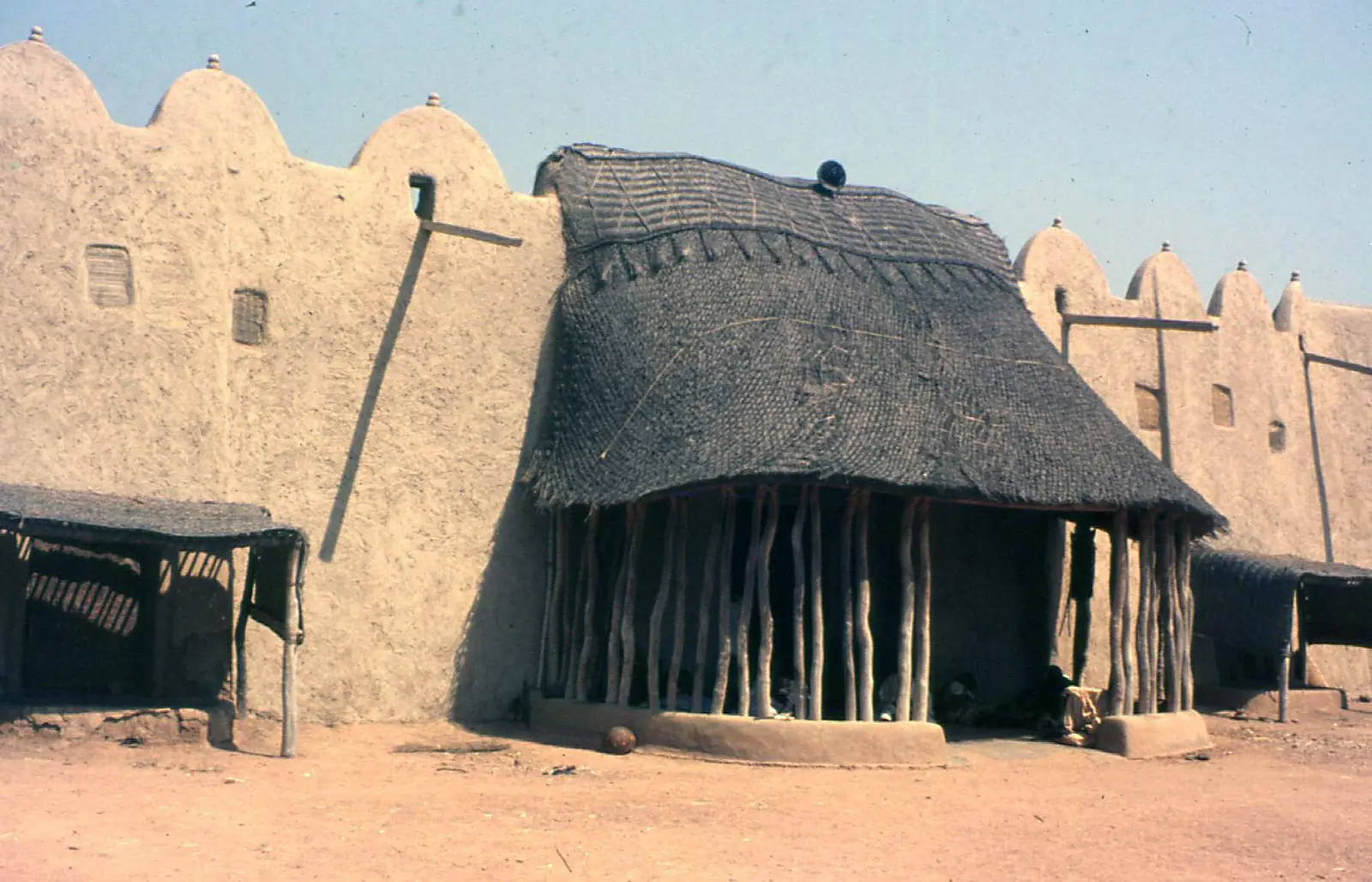
English Wikipedia says the Rey Bouba lamidate was a vassal of the Yola emirate, itself under the Sokoto caliphate. Its palace was built between 1805 and 1808 under Ngjidda, who reigned from 1798 to 1866; its earthen wall is 800 m long and 7 m high, and the site joined UNESCO's tentative list on 18 April 2006. Osidimbea dates the division to 1983. After independence Tcholliré held a political prison, French Wikipedia notes.5,7,2,3
What it's known for
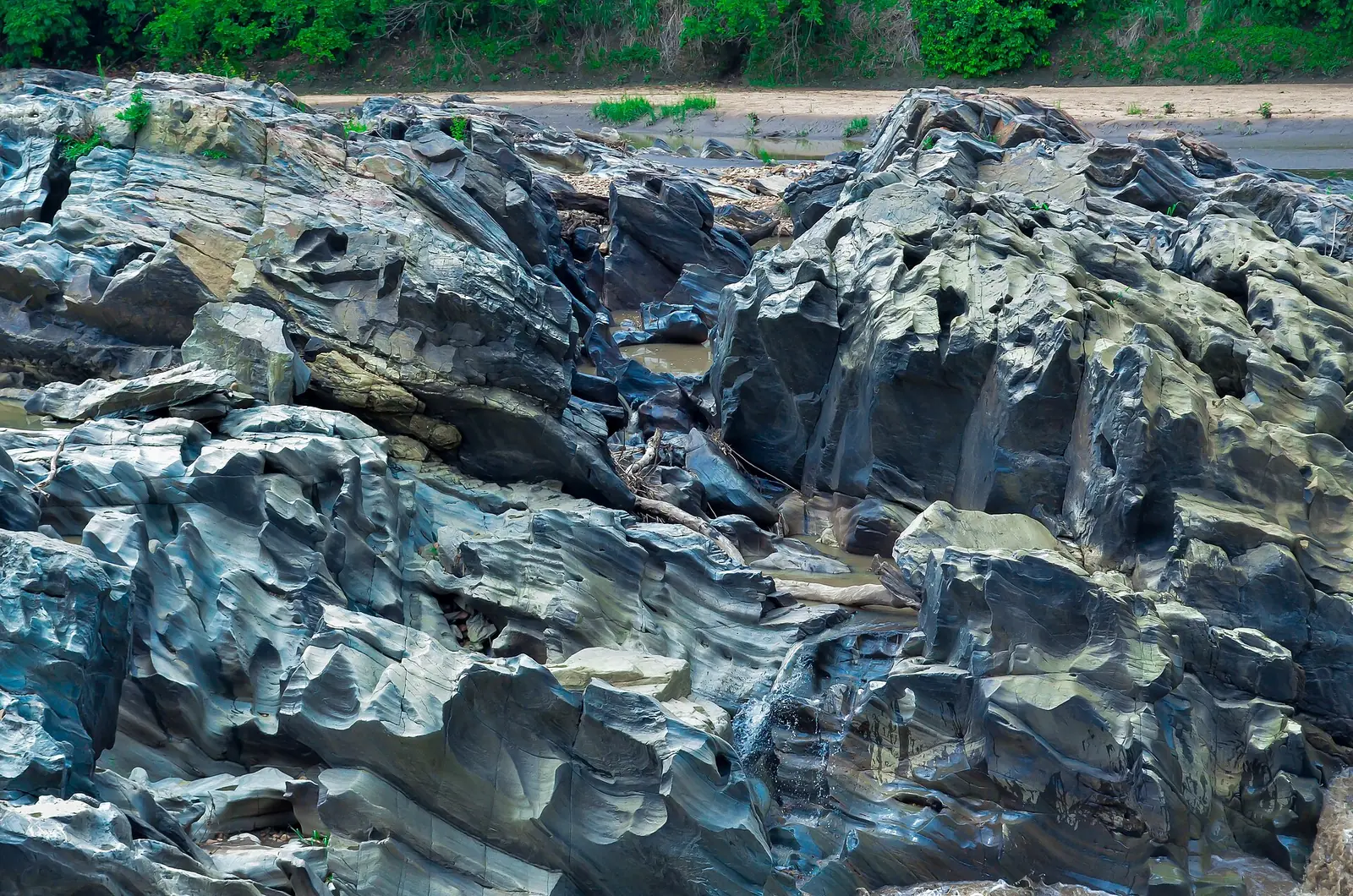
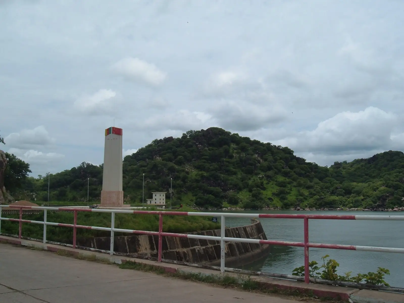
Four of the site's places are here on OpenStreetMap: the Palace of Rey Bouba, Bouba Ndjida National Park and most of the Lagdo Reservoir, in Rey-Bouba subdivision, and Bénoué National Park, in Tcholliré subdivision, although English Wikipedia places that park in Bénoué division. The statistics office gives the two parks 220,000 ha and 180,000 ha. The public road to Tcholliré crosses the north of Bénoué National Park, and the Bénoué river forms its eastern boundary for over 100 km. Touboro has one of Sodecoton's cotton-ginning plants and an aerodrome, according to French Wikipedia.9,8,1,4
Main towns and getting there
In pictures
Map
Still to confirm
Our sources can't yet confirm these points:
- A census count of the division's population (the INS gives only a 2018 projection)
- The peoples and languages of Tcholliré, Touboro and Madingring subdivisions
- Which division Bénoué National Park officially belongs to
- The creation dates and decrees of the four subdivisions
- Road distances to Rey Bouba, Touboro and Madingring
Sources for this page
Information checked on 19 November 2026. It may have changed since.
- Annuaire statistique de la région du Nord, édition 2019: chapitre 1 and Tableau 1-2 (areas, MINEPAT 2017 estimate), Tableau 2-1 (administrative map, source INS/MINAT), Tableau 4-1 (2018 population estimate, MINEPAT), Institut national de la statistique, Agence régionale du Nord (undated)
- Département du Mayo-Rey, Osidimbea, la mémoire du Cameroun (undated)
- Tcholliré, Wikipédia (19 November 2026)
- Touboro, Wikipédia (19 November 2026)
- Rey Bouba, Wikipedia (19 November 2026)
- Bouba Njida National Park, Wikipedia (19 November 2026)
- Palace of Rey Bouba, Wikipedia (19 November 2026)
- Bénoué National Park, Wikipedia (19 November 2026)
- Nominatim search and reverse lookups for the division's towns and the site's places, OpenStreetMap contributors / Nominatim (19 November 2026)
- Road route from Garoua to Tcholliré, computed by us on 19 November 2026, Project OSRM, OpenStreetMap data (19 November 2026)