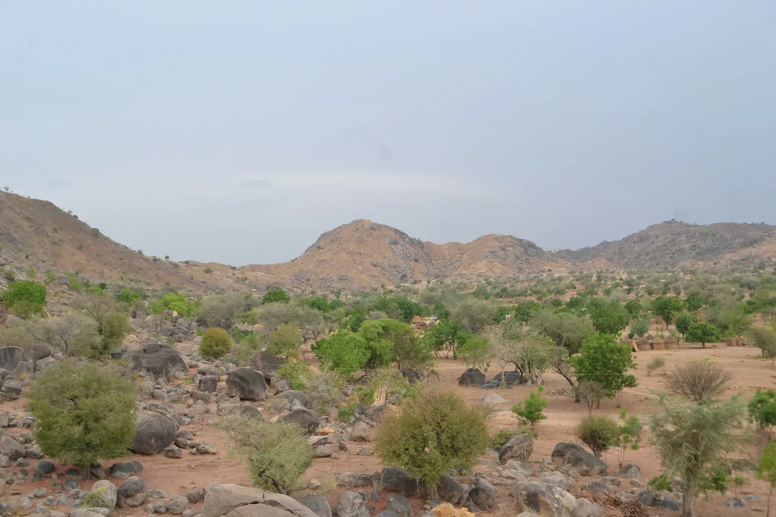
Mayo-Sava, the Far North's smallest division: Mora and the old Wandala sultanate, the northern Mandara Mountains and Podoko villages.
Subdivisions of Mayo-Sava Division
Mayo-Sava Division has 3 subdivisions.
Mora
Chief town: Mora
Kolofata
Chief town: Kolofata
Tokombéré
Chief town: Tokombéré
Places in Mayo-Sava Division
Where it is and what it's like
Mayo-Sava is the smallest division of the Far North, at 2,737 km² by the INS figure (2,736 km² for Osidimbea). It lies on the Nigerian border, where the northern end of the Mandara Mountains meets the plain. The Mora commune is about 80% plain, and its mountain fifth is densely settled; its Sudano-Sahelian climate brings a dry season of eight to nine months.1,3,5
The division takes its name from the Mayo-Sava, an irregular stream. Like other mayos, it runs after heavy rain and then dries into a bed of sand, with water around 6 m down in the dry season.4
People
The 2005 census counted 348,890 people, and the INS projects 469,424 for 2017, or 172 per km². The INS lists the Mandara, the peoples of the Mora massif and the Podoko around Mora, the Mada, Muyang and Zulgo at Tokombéré, the Kanuri at Kolofata and the Mouktele at Zouelva. French Wikipedia's Mora article gives the Podoko as the largest group in that commune (19%), followed by the Kanuri, Mouktele and Mandara.1,2,5
The division has three subdivisions: Mora, Kolofata and Tokombéré. Mora is the seat of the Wandala sultanate, one of the division's two first-degree chiefdoms.1,5
History
This was the heart of the Mandara (Wandala) kingdom. English Wikipedia says tradition places its foundation shortly before 1500; it is first mentioned by Fra Mauro in 1459, had its capital at Dulo from about 1580, and became a sultanate around 1715. A Fulani jihad briefly took Dulo in 1809, and the kingdom passed under German rule in 1902. The English explorer Dixon Denham visited Mora in the 1820s.7,5
The German fort on the Mora mountain was the last German post in Cameroon to surrender during the First World War, on 20 February 1916. The division was created by decree 81/521 of 11 December 1981, which split the former Margui-Wandala division, whose chief town was Mokolo, into Mayo-Sava and Mayo-Tsanaga. At Tokombéré, the arrival of the priest Baba Simon in 1959 began the Catholic mission that remains central to the town.6,3,8
What it's known for
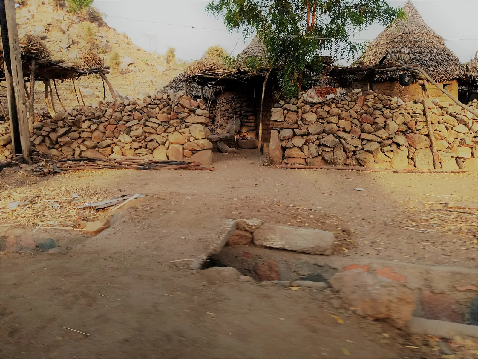
Oudjila, one of the site's places, is a Podoko village on the plateau about 5 km from Mora, in the Mora subdivision according to French Wikipedia and OpenStreetMap, with houses spread along the ridges among terraced fields. The INS heritage list names the palace of the chief of Oudjila, the palace of the sultan of Mora, the Mora-Massif chiefdom, the markets of Mora, Amchidé, Mayo-Plata and Tokombéré, the Oudjila pass, and First World War sites on the Mora mountain.9,12,1
Main towns
In pictures
Map
Still to confirm
Our sources can't yet confirm these points:
- An official current population for Mayo-Sava and its subdivisions (the latest INS figures are 2017 projections)
- Mora's town population at the 2005 census
- The source and year of the ethnic percentages for Mora commune quoted by French Wikipedia
Sources for this page
Information checked on 19 November 2026. It may have changed since.
- Annuaire statistique 2018 de la région de l'Extrême-Nord, édition 2019: Tableau 1-1 (areas, source DREPAT), Tableau 2-1 (administrative map, source MINATD), main ethnic groups, Tableau 3-1 (2017 projections), Tableau 3-4 (2005 census by subdivision), Tableau 21-1 (heritage sites, source DR-MINTOUL), Institut national de la statistique, Agence régionale de l'Extrême-Nord (undated)
- Mayo-Sava: department, census counts 1987 and 2005 by subdivision, City Population (Thomas Brinkhoff), citing BUCREP and INS (19 November 2026)
- Département du Mayo-Sava: administrative history, Osidimbea (19 November 2026)
- Mayo-Sava, Wikipédia (19 November 2026)
- Mora (Cameroun), Wikipédia (19 November 2026)
- Mora, Cameroon, Wikipedia (19 November 2026)
- Kingdom of Mandara, Wikipedia (19 November 2026)
- Tokombéré, Wikipedia (19 November 2026)
- Oudjila, Wikipédia (19 November 2026)
- Kolofata, Wikipédia (19 November 2026)
- Tokombéré, Wikipédia (19 November 2026)
- Nominatim search and reverse lookups for the division's places and subdivisions, OpenStreetMap contributors (19 November 2026)