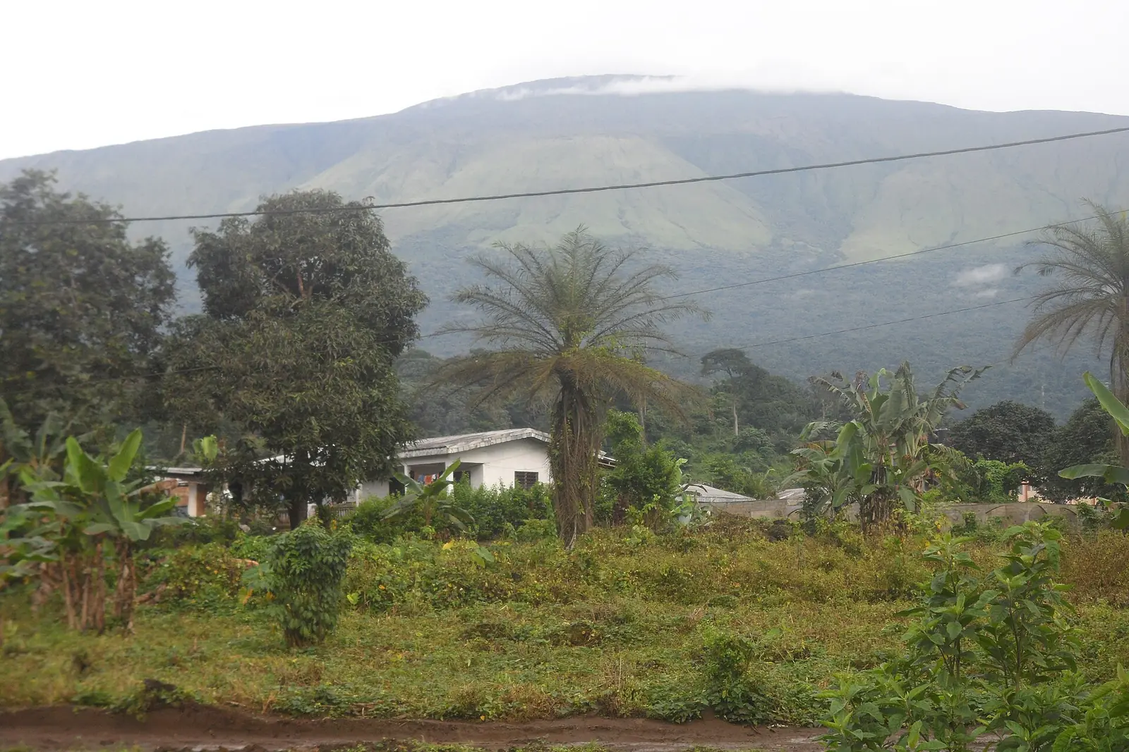
Fako, the Southwest's coastal division: Mount Cameroon, Limbe and Buea, with 466,412 people at the 2005 census.
Subdivisions of Fako Division
Fako Division has 7 subdivisions.
Buea
Chief town: Buea
Limbe I
Chief town: Limbe
Limbe II
Chief town: Limbe
Limbe III
Chief town: Limbe
Muyuka
Chief town: Muyuka
Tiko
Chief town: Tiko
West Coast
Chief town: Idenau
Places in Fako Division
Where it is and what it's like
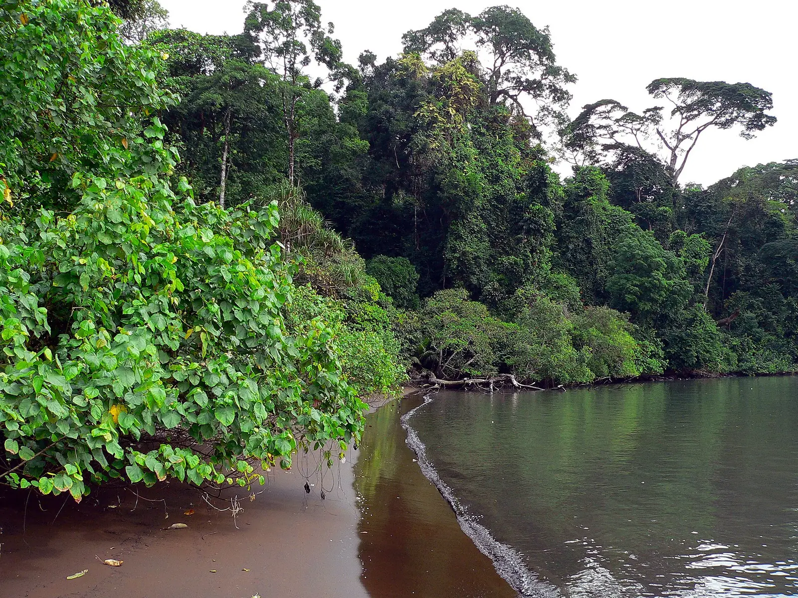
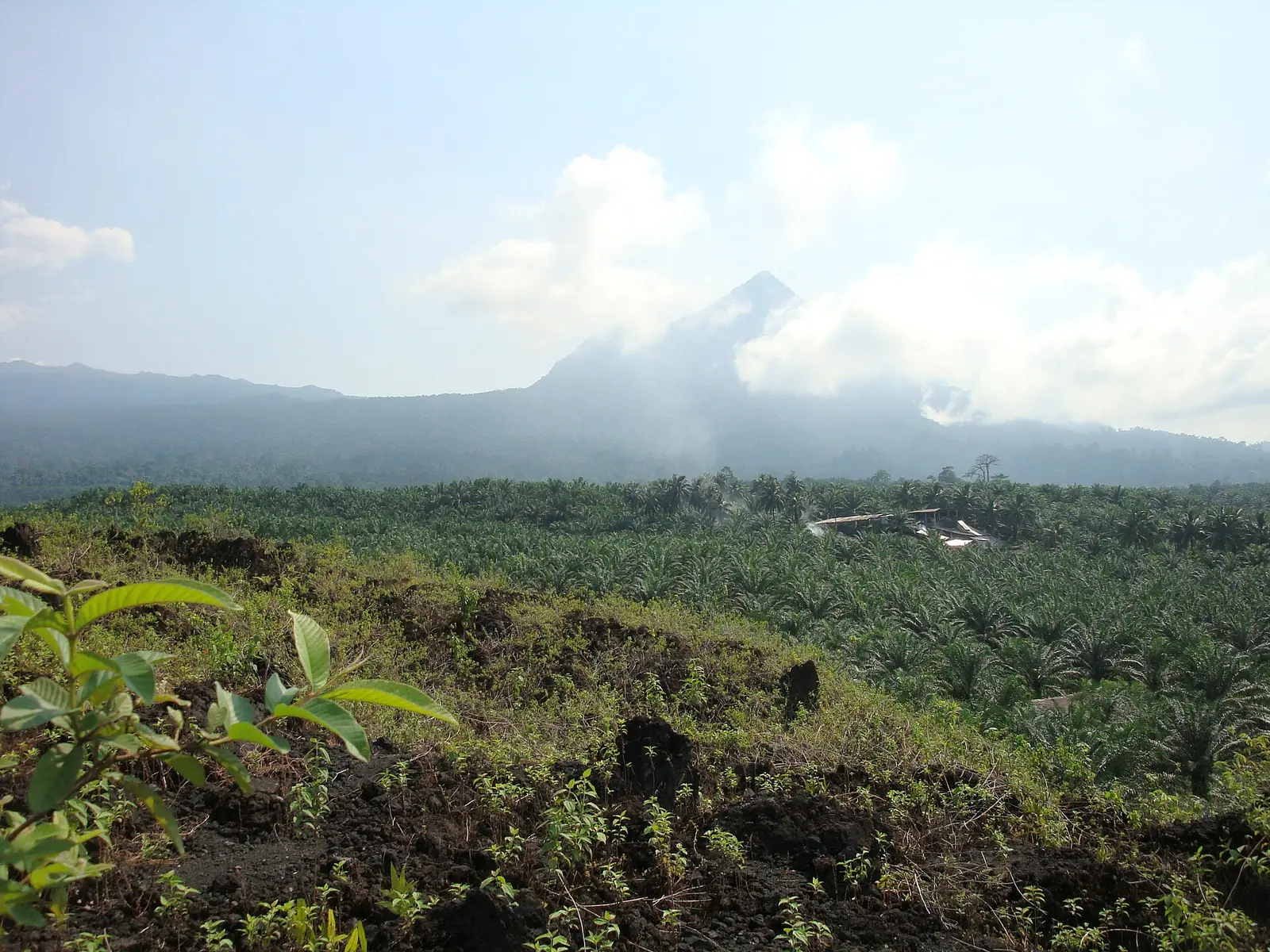
Fako covers 2,093 km² on the Atlantic coast, in the south of the Southwest region. Most of it is taken up by Mount Cameroon, an active volcano. English Wikipedia gives its height as 4,040 m and says the 4,095 m often quoted, the figure the statistics office uses, doesn't fit satellite elevation data. Mount Cameroon National Park, created in 2009, covers 581 km². Recorded eruptions include 1999, 2000 and a short one on 3 February 2012.1,4
People
The 2005 census counted 466,412 people, 35.4% of the region and 222.8 per km², the highest density of its six divisions. By subdivision: Buea 131,325, Limbe 118,210, Tiko 117,884, Muyuka 86,268 and West Coast 12,725. English Wikipedia gives Limbe town 84,223 at the same census, lower than the subdivision figure. Buea's population was originally mainly Bakweri.1,5,6
History
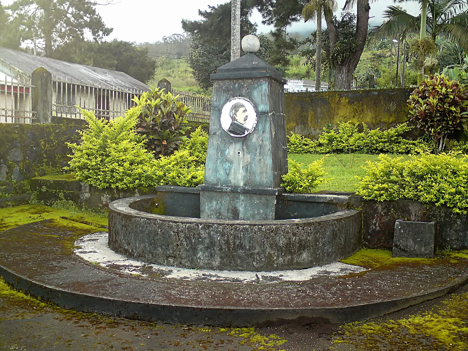
Limbe, the chief town, was called Victoria from 1858 until a 1982 decree renamed it. Buea was the capital of German Kamerun from 1901 to 1919, of the Southern Cameroons from 1949 to 1961 and of West Cameroon until 1972. Tiko, which the Bakweri called Keka, grew as a market town for Douala fishermen, Bakweri farmers and hunters. Osidimbea dates the division to 1975 and Limbe's three subdivisions to 2007.5,6,7,8,2
What it's known for
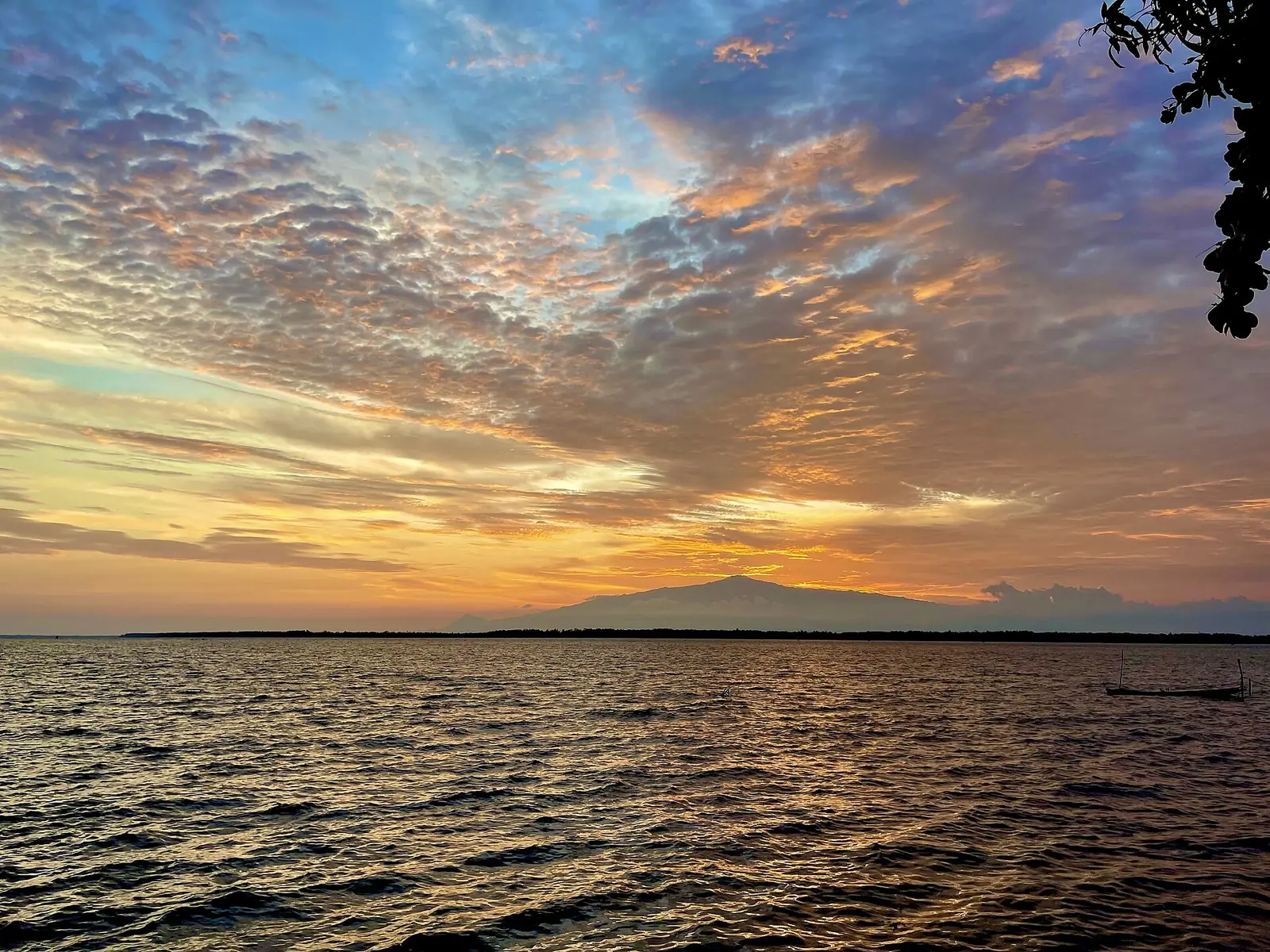
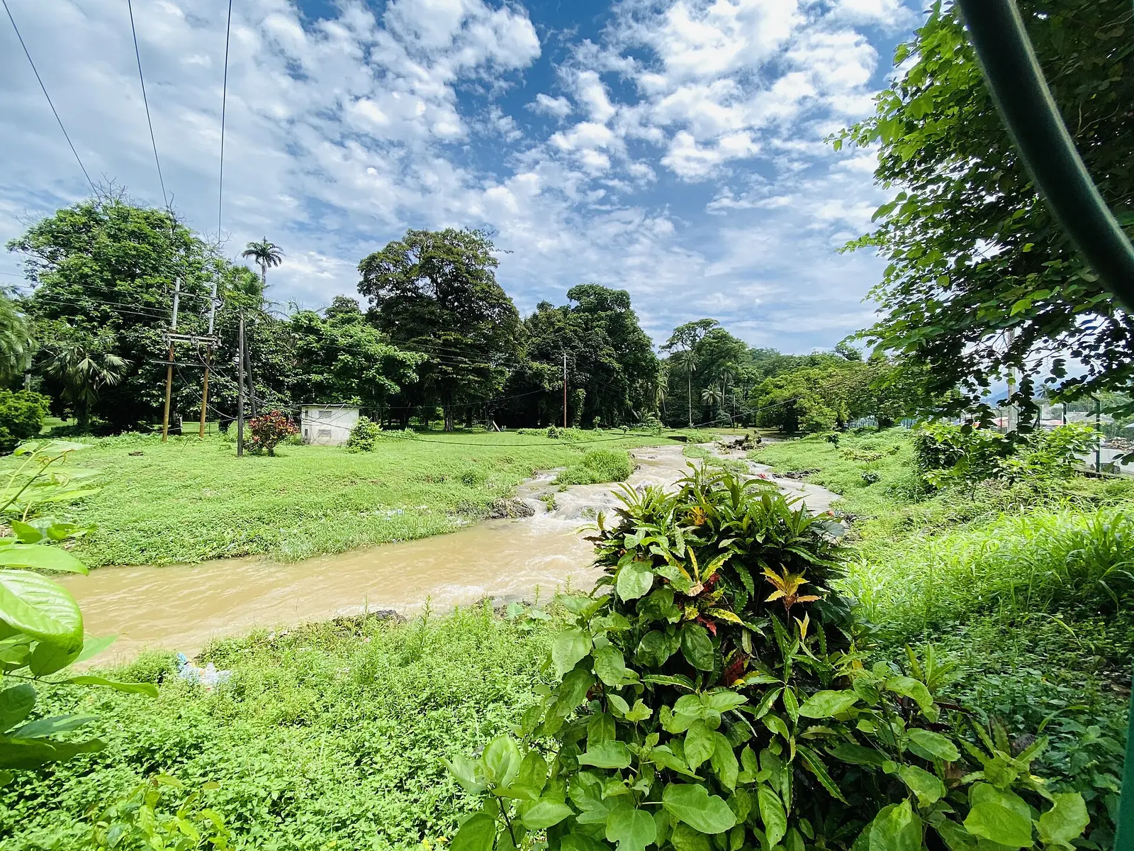
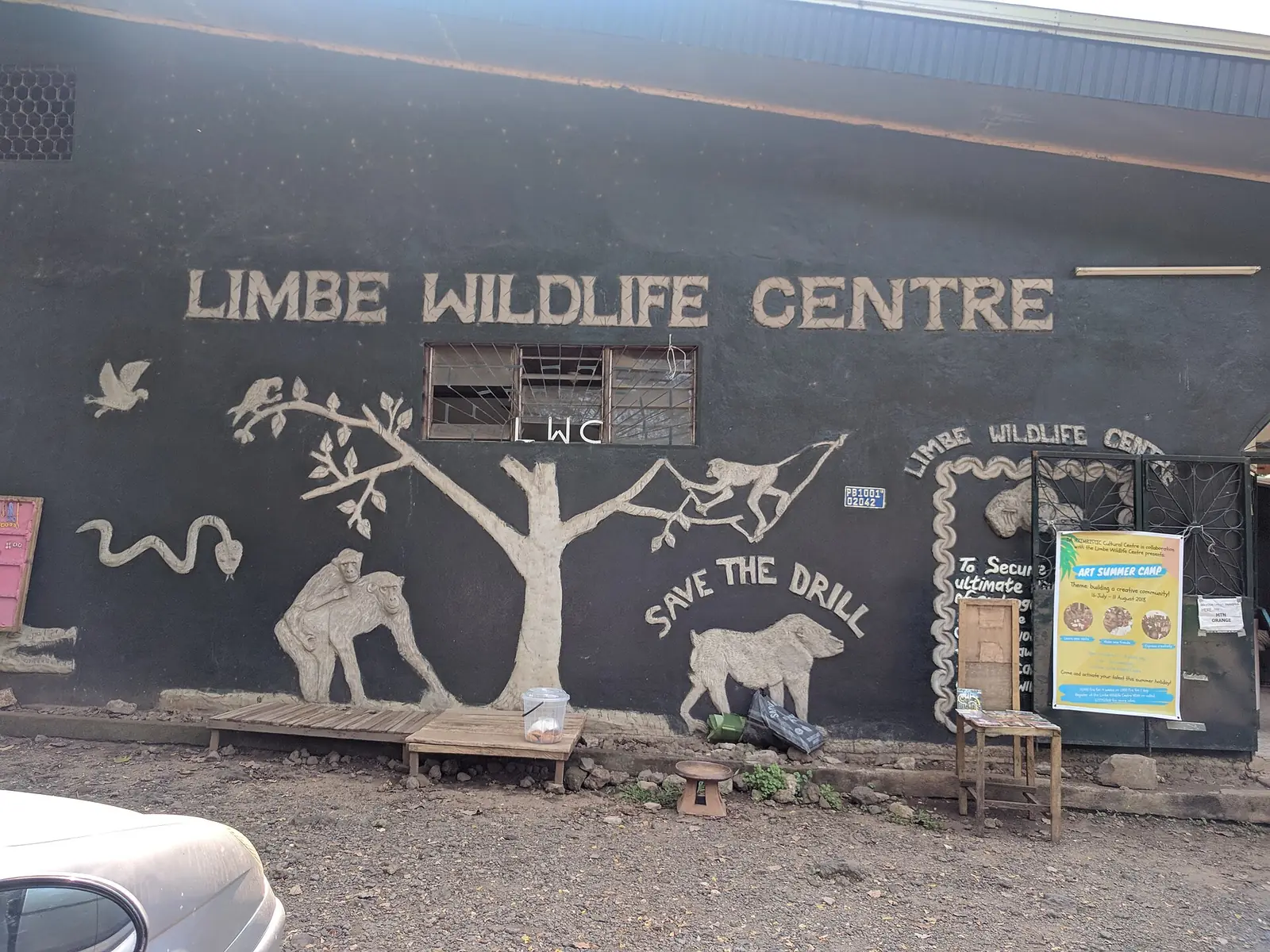
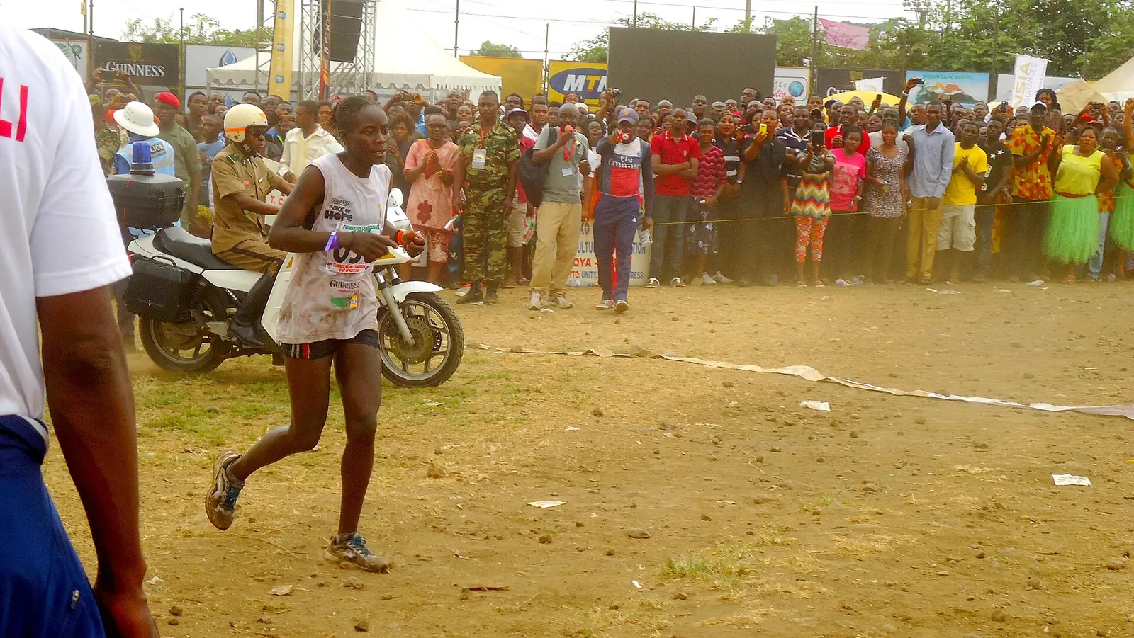
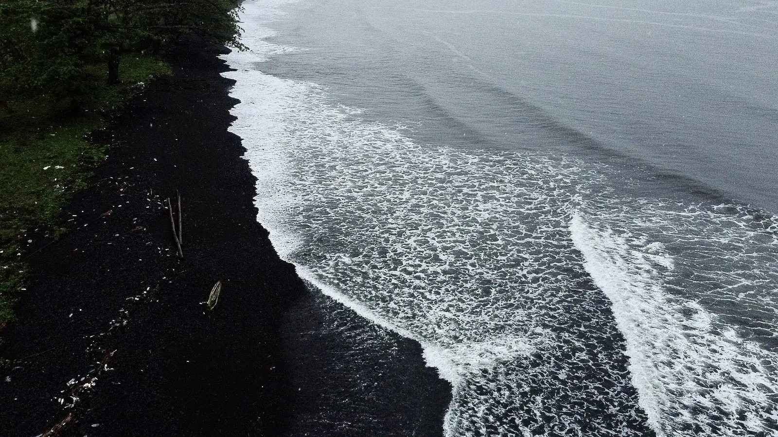
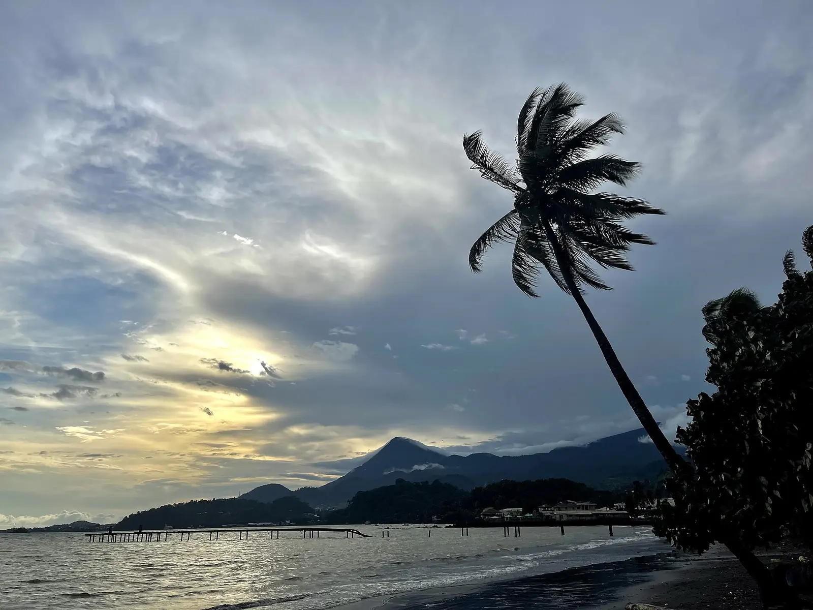
The site lists Mount Cameroon and its Race of Hope, Mount Etinde, Buea's colonial buildings, Limbe Botanic Garden, Limbe Wildlife Centre, the black sand beaches of Limbe and Idenau beach in this division. Limbe also has SONARA, the country's only oil refinery, and the Cameroon Development Corporation's head office at Bota. Around Tiko the corporation's plantations produce rubber, bananas and palm oil. OpenStreetMap places Mount Cameroon's summit just across the line in Mbonge subdivision of Meme, so the mountain belongs to both divisions.5,7,9
Main towns
In pictures
Map
Still to confirm
Our sources can't yet confirm these points:
- The decree creating Limbe I, II and III, and the quarter each subdivision is seated in
- Mount Cameroon's surveyed height (4,040 m or 4,095 m)
- A current population count: the latest census is from 2005
- Why Limbe town (84,223) and Limbe subdivision (118,210) differ in 2005
- Which division Mount Cameroon's summit officially lies in: OpenStreetMap puts it in Mbonge (Meme)
Sources for this page
Information checked on 19 November 2026. It may have changed since.
- Annuaire statistique de la région du Sud-Ouest, édition 2023: chapter 1 (relief, rivers), Tableau 2-1 (subdivisions by division, source MINAT), Tableaux 4-2, 4-3 and 4-10 (area, population, 2005 census by subdivision), Institut national de la statistique, Agence régionale du Sud-Ouest (undated)
- Département du Fako, Osidimbea (19 November 2026)
- Fako (department), Wikipedia (19 November 2026)
- Mount Cameroon, Wikipedia (19 November 2026)
- Limbe, Cameroon, Wikipedia (19 November 2026)
- Buea, Wikipedia (19 November 2026)
- Tiko, Wikipedia (19 November 2026)
- Région du Sud-Ouest: les départements, Osidimbea (19 November 2026)
- OpenStreetMap Nominatim: searches for the Southwest's division and subdivision seats, and reverse lookups of the site's place coordinates, OpenStreetMap contributors / Nominatim (19 November 2026)