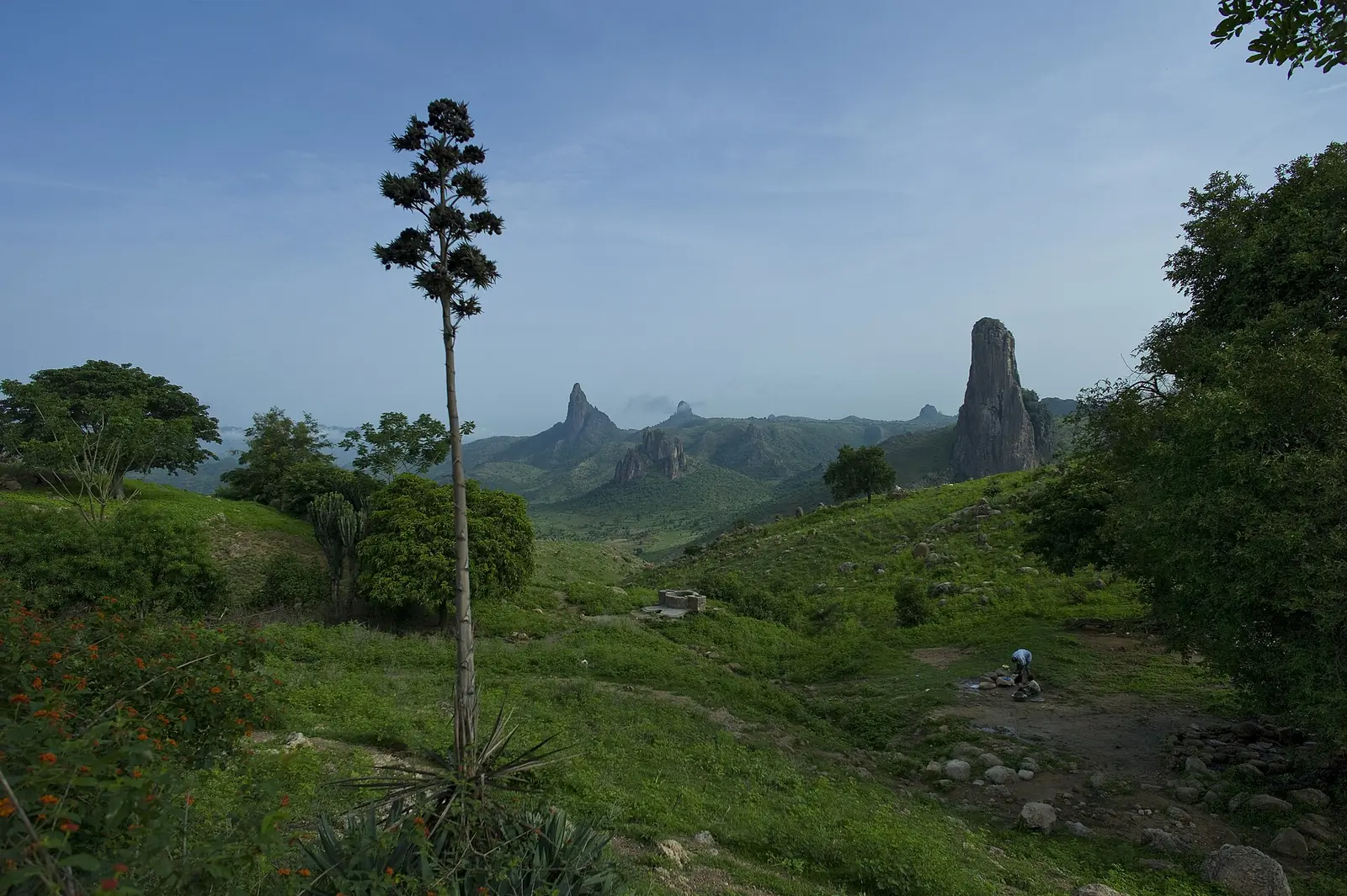
Mayo-Tsanaga, the Far North division in the Mandara Mountains: Mokolo, Rhumsiki's volcanic peaks, Mafa and Kapsiki country, Diy-Gid-Biy.
Subdivisions of Mayo-Tsanaga Division
Mayo-Tsanaga Division has 7 subdivisions.
Mokolo
Chief town: Mokolo
Bourrha
Chief town: Bourrha
Hina
Chief town: Hina
Koza
Chief town: Koza
Mayo-Moskota
Chief town: Mozogo
Mogodé
Chief town: Mogodé
Soulédé-Roua
Chief town: Roua
Places in Mayo-Tsanaga Division
Where it is and what it's like
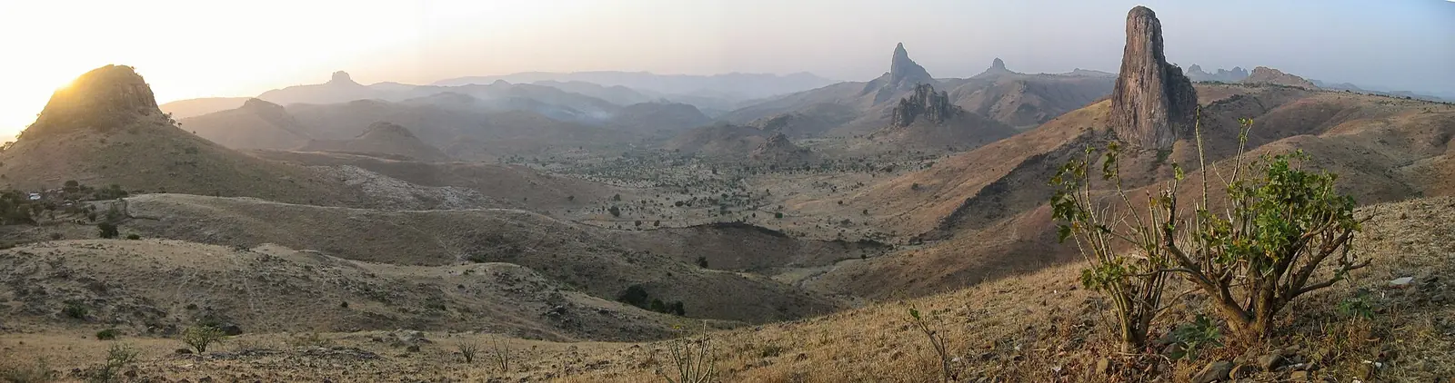
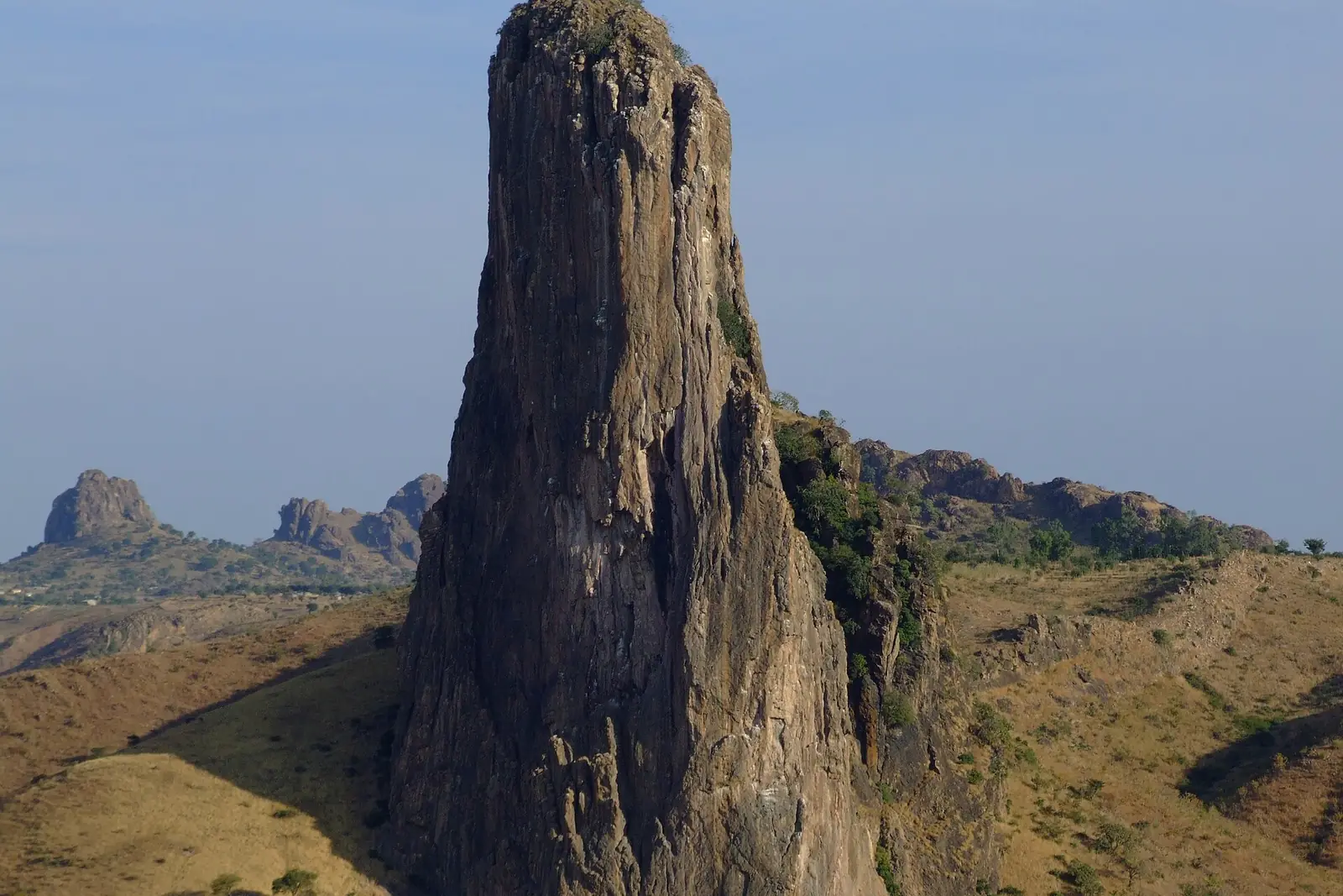
Mayo-Tsanaga runs along the Nigerian border west of Maroua, in the Mandara Mountains. The INS describes this zone as stony, mostly uncultivable land between 600 and 1,200 m, with 900 to 1,000 mm of rain a year, more than elsewhere at this latitude, and steep, heavily farmed slopes cut by torrents in the rainy season. Around Rhumsiki, the Kapsiki plateau, at 800 to 1,100 m, is studded with volcanic plugs; the largest, Kapsiki Peak, stands 1,224 m high.5,1,7
The division is named after the Mayo-Tsanaga, an intermittent river that crosses it in the rainy season from Mokolo towards Maroua, Bogo and Chad.4
People
The 2005 census counted 699,971 people. The INS projects 941,794 for 2017, or 214 per km², the highest density in the region, and French Wikipedia calls it the most populous division in Cameroon after those of Douala and Yaoundé. The INS names the Mafa and the Kapsiki as the main groups. The Mafa, who speak a Chadic language, live in the central part of the northern Mandaras and are known for their terraced hillsides. The Kapsiki, called Kamwe or Higi in Nigeria, live on the plateau and speak Psekiye, also Chadic.1,2,4,9,10
In Mokolo, Fulani and Mafa live side by side, each with its own lamido, and Fulfulde is the common language. The seven subdivisions are Mokolo, Bourrha, Hina, Koza, Mayo-Moskota, Mogodé and Soulédé-Roua.6,1,2
History
The Diy-Gid-Biy sites, whose name means 'place of chiefly residence' in Mafa, are 16 groups of dry-stone terraces and platforms, most first built in the 15th century, with one dated to around 1250. The INS places them across the Koza and Mayo-Moskota subdivisions, and the cultural landscape was added to the UNESCO World Heritage List in July 2025.11,1,12
In 1916 Mokolo was ruled from Madagali, now in Nigeria. Mayo-Tsanaga was created by decree 81/521 of 11 December 1981, which split the Margui-Wandala division in two, according to Osidimbea; French Wikipedia gives 1984.6,3,4
What it's known for
Three of the site's places are here. Rhumsiki, a Kapsiki village of stone houses among volcanic peaks, belongs to the Mogodé commune. Mokolo's weekly market is in the chief town, and the Mandara Mountains run through the whole division. The INS heritage list adds the Koza pass and the Djingliya craft centre, the Thursday market of Tourou, known for the calabash headgear worn by women, the blacksmiths' village of Amsa near Rhumsiki, the Mozogo-Gokoro park of 1,400 ha in Mayo-Moskota, and the Kouva cave.8,16,1
Main towns
Map
Still to confirm
Our sources can't yet confirm these points:
- An official current population for Mayo-Tsanaga and its subdivisions (the latest INS figures are 2017 projections)
- The year the division was created: 1981 (Osidimbea, decree 81/521) or 1984 (French Wikipedia)
- The subdivisions in which each Diy-Gid-Biy site lies, from the UNESCO nomination file
Sources for this page
Information checked on 19 November 2026. It may have changed since.
- Annuaire statistique 2018 de la région de l'Extrême-Nord, édition 2019: Tableau 1-1 (areas, source DREPAT), Tableau 2-1 (administrative map, source MINATD), main ethnic groups, Tableau 3-1 (2017 projections), Tableau 3-4 (2005 census by subdivision), Tableau 21-1 (heritage sites, source DR-MINTOUL), Institut national de la statistique, Agence régionale de l'Extrême-Nord (undated)
- Mayo-Tsanaga: department, census counts 1987 and 2005 by subdivision, City Population (Thomas Brinkhoff), citing BUCREP and INS (19 November 2026)
- Département du Mayo-Tsanaga: administrative history, Osidimbea (19 November 2026)
- Mayo-Tsanaga, Wikipédia (19 November 2026)
- Mayo-Tsanaga, Wikipedia (19 November 2026)
- Mokolo, Wikipedia (19 November 2026)
- Rhumsiki, Wikipedia (19 November 2026)
- Rhumsiki, Wikipédia (19 November 2026)
- Mafa people, Wikipedia (19 November 2026)
- Kapsiki people, Wikipedia (19 November 2026)
- Diy-Gid-Biy, Wikipedia (19 November 2026)
- UNESCO adds Cameroon, Malawi sites to heritage list, Asharq Al-Awsat (11 July 2025)
- Koza (Cameroun), Wikipédia (19 November 2026)
- Bourha, Wikipédia (19 November 2026)
- Mogodé, Wikipédia (19 November 2026)
- Nominatim search and reverse lookups for the division's places and subdivisions, OpenStreetMap contributors (19 November 2026)