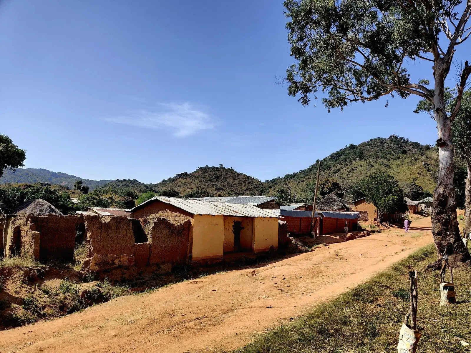
Faro-et-Déo, the mountainous west of Adamawa on the Nigerian border: Tignère, the old lamidate of Kontcha and Tchabal Mbabo.
Subdivisions of Faro-et-Déo Division
Faro-et-Déo Division has 4 subdivisions.
Galim-Tignère
Chief town: Galim-Tignère
Kontcha
Chief town: Kontcha
Mayo-Baléo
Chief town: Mayo-Baléo
Tignère
Chief town: Tignère
Places in Faro-et-Déo Division
- Population
- 82,717 (2005 census)1
Where it is and what it's like
Faro-et-Déo lies in the west of the Adamawa region, along the border with Nigeria, which passes close to Kontcha. The statistics office gives it 10,437 km²; English Wikipedia gives 10,435 km². The office describes the west of the region as true mountain country: the Tchabal, granite blocks of around 2,000 m, deeply cut by tributaries of the Faro and the Mbam.1,3,5
The highest of these is Tchabal Mbabo, which the Key Biodiversity Areas factsheet puts at 2,456 m, the highest point on the Adamawa plateau. The statistics office records about 2,000 mm of rain a year on its slopes. At Tignère, the dry season runs from November to March and the rains from April to October.1,8,9
People and how it's organised
With 82,717 people at the 2005 census, Faro-et-Déo is the least populous division of the region. Its four subdivisions each have a council of the same name. French Wikipedia gives their 2005 populations: Tignère 34,167, Galim-Tignère 25,739, Mayo-Baléo 15,873 and Kontcha 6,938, which add up to the division's total.1,4,5,6,7
Osidimbea lists the Lamidats of Tignère and Kontcha among the division's traditional chiefdoms, with several lawanats, including Galim. On Tchabal Mbabo, the Key Biodiversity Areas factsheet notes that Fulani cattle graze the plateau grasslands, which suffer from overgrazing and erosion.2,8
History
What it's known for
Tchabal Mbabo is the division's best-known landscape and one of the site's Adamawa places; its mapped point lies in the Galim-Tignère subdivision. Its north- and west-facing slopes carry extensive montane forest between about 1,600 and 2,000 m, which the Key Biodiversity Areas factsheet describes as virtually intact on the steep northern side, and it lists none of the area as protected. Across the border lies Nigeria's Gashaka-Gumti National Park. The statistics office's 2020 inventory also lists three waterfalls and a lake in the division.1,8,11
Main towns and getting there
Map
Still to confirm
Our sources can't yet confirm these points:
- The official name of the Galim-Tignère subdivision's chief town (OpenStreetMap: Galim-Tignère; the lawanat is called Galim)
- Road access and travel times to Tignère, Kontcha and Mayo-Baléo
- The creating decree of the division (Osidimbea gives 1983 without a reference) and the creation dates of its four subdivisions
- The current population of the division (latest census figures are from 2005)
Sources for this page
Information checked on 19 November 2026. It may have changed since.
- Annuaire statistique de la région de l'Adamaoua, édition 2024: chapitre 1 (relief, hydrographie, mines, faune), Tableau 2.2 and Graphique 2.1 (administrative map and areas, source Services du Gouverneur), Tableau 3.1 (2005 census by division), Tableau 10.10 (tourist sites by division, 2020), Institut national de la statistique, Agence régionale de l'Adamaoua (undated)
- Département du Faro-et-Déo, Osidimbea, la mémoire du Cameroun (undated)
- Faro-et-Déo, Wikipedia (19 November 2026)
- Tignère, Wikipédia (19 November 2026)
- Kontcha, Wikipédia (19 November 2026)
- Mayo-Baléo, Wikipédia (19 November 2026)
- Galim-Tignère, Wikipédia (19 November 2026)
- Tchabal-Mbabo, Key Biodiversity Areas Partnership (undated)
- Tignère, Wikipedia (19 November 2026)
- Banyo, Wikipédia (19 November 2026)
- OpenStreetMap: boundary relations of Adamaoua's divisions and subdivisions, and a reverse lookup of Tchabal Mbabo's coordinates, OpenStreetMap contributors (Nominatim and Overpass API) (19 November 2026)