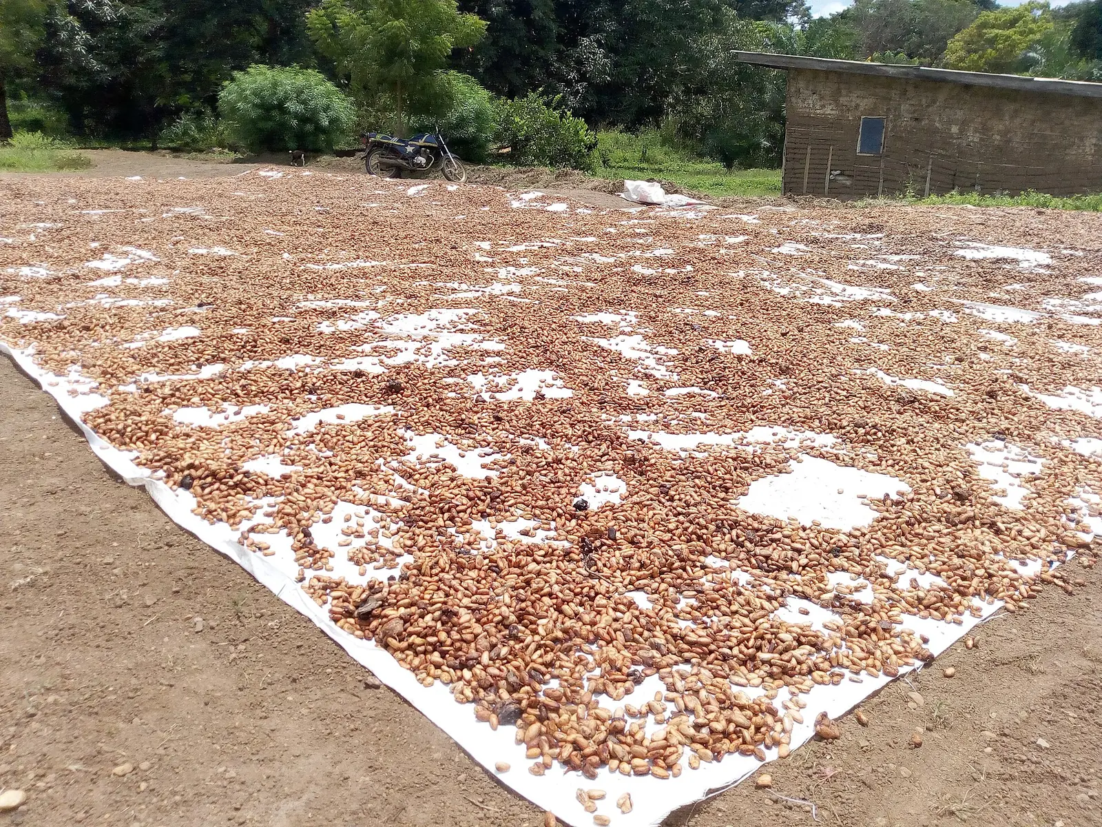
Mbam-et-Kim, the Centre's largest division: Ntui on the Sanaga, the Tikar plain, Yoko, and the Mpem and Djim and Mbam and Djerem parks.
Subdivisions of Mbam-et-Kim Division
Mbam-et-Kim Division has 5 subdivisions.
Mbangassina
Chief town: Mbangassina
Ngambé-Tikar
Chief town: Ngambé-Tikar
Ngoro
Chief town: Ngoro
Ntui
Chief town: Ntui
Yoko
Chief town: Yoko
Where it is and what it's like
Mbam-et-Kim is by far the Centre region's largest division: 25,906 km², or 37.6% of the region. It stretches north from the Sanaga towards the Adamawa. The statistics office notes hills of 1,000 to 1,300 m around Ntui and Yoko, and Sudano-Guinean shrub savanna with gallery forests in the north, around Yoko and Ngambé-Tikar. Ngambé-Tikar lies in the Tikar plain, where rivers such as the Kim flow to the Mbam.1,4
People
The 2005 census counted 105,511 people, and the statistics office projects 252,215 for 2023, still under 10 per km², the region's lowest density. It lists the Sanaga, Vute, Baveck, Babouté, Tikar and Ndjanf peoples. French Wikipedia says Ngambé-Tikar's population is about 90% Tikar, with Mbororo herders among the rest.1,4
History
What it's known for
Two national parks reach into the division. Mpem and Djim National Park, created in 2004 and covering 974.8 km² of forest-savanna mosaic, lies in the loop of the Djim and its tributary the Mpem, which flow to the Mbam; its conservation service is based in Ntui. Mbam and Djerem National Park, created by a decree of 6 January 2000 over 416,512 ha, spans the Djérem, Mbam-et-Kim (Yoko subdivision) and Lom-et-Djérem divisions; its western edge follows the Yoko–Sangbé road. Ntui council includes the village of Nachtigal, opposite Batchenga at the Nachtigal Falls, now the site of a 420 MW hydroelectric plant. The statistics office notes hunting zones in the division that were not yet operating.6,7,8,9,10,11,12,13
Main towns and getting there
Map
Still to confirm
Our sources can't yet confirm these points:
- The road distance and travel time from Yaoundé to Ntui
- How much of Mbam and Djerem National Park lies in the Centre region, and which subdivisions Mpem and Djim National Park covers
- The 2023 figures for Ntui and Yoko subdivisions: the INS table's columns are misaligned and were matched by order
Sources for this page
Information checked on 19 November 2026. It may have changed since.
- Annuaire statistique de la région du Centre, édition 2025: chapter 1 (relief, rivers, vegetation, protected areas; Tableau 1-2, ethnolinguistic groups), Tableaux 2-2 and 2-3 (administrative map at 31 December 2024, source MINAT), Tableau 4-6 (area and population by division, 2005 census and 2023 projection), Institut national de la statistique, Agence régionale du Centre (undated)
- Département du Mbam et Kim, Osidimbea, la mémoire du Cameroun (undated)
- OpenStreetMap Nominatim: boundary relations of the Centre's divisions and subdivisions (search), and reverse lookups of the site's place coordinates, OpenStreetMap contributors / Nominatim (19 November 2026)
- Ngambè-Tikar, Wikipédia (19 November 2026)
- Département du Mbam & Inoubou, Osidimbea, la mémoire du Cameroun (undated)
- Mpem and Djim National Park, Wikipedia (19 November 2026)
- Inventory of the Ichthyofauna of the Mpem and Djim National Park (Center, Cameroon) Provides Baseline Data for a Conservation Project (Njom et al.), Diversity 14, 1029, MDPI (24 November 2022)
- Décret n° 2000/005/PM du 6 janvier 2000 portant création du Parc national du Mbam et Djerem, Services du Premier ministre, via FAOLEX (6 January 2000)
- Parc national du Mbam et Djerem, Wikipédia (19 November 2026)
- Ntui, Wikipedia (19 November 2026)
- Chutes de Nachtigal and Nachtigal village, OpenStreetMap contributors (19 November 2026)
- Nachtigal Hydropower Plant: Environmental and Social Data Sheet, European Investment Bank (undated)
- Annuaire statistique de la région du Centre, édition 2020: Tableau 21-1, tourist sites by division and type in 2017 (source MINTOUL, Centre regional delegation), Institut national de la statistique, Agence régionale du Centre (undated)
- Yoko (Cameroun), Wikipédia (19 November 2026)