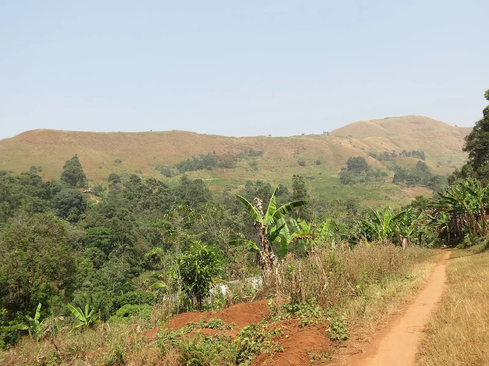
Boyo, the Northwest division of the Kom: Fundong, Belo, Njinikom and Bum, the Ijim highlands and Lake Oku, in four subdivisions.
Subdivisions of Boyo Division
Boyo Division has 4 subdivisions.
Belo
Chief town: Belo
Bum
Chief town: Fonfuka
Fundong
Chief town: Fundong
Njinikom
Chief town: Njinikom
Places in Boyo Division
Where it is and what it's like
Boyo covers 1,592 km² of highland country, one of the Northwest's seven divisions. Fundong, its chief town, lies about 80 km from Bamenda. In his 1952 survey of what was then Bamenda Province, P. M. Kaberry found Kom, the country that makes up most of Boyo, to be the wettest part of the province, with about 124 inches (3,150 mm) of rain a year against some 65 inches in Nsaw, and noted that brown rice did well there.1,4,6,7
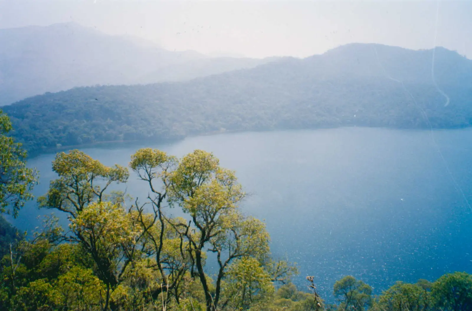
The division takes in the Ijim side of the Kilum-Ijim mountain forest. The Key Biodiversity Areas Partnership puts Mount Oku at 3,011 m, the highest mountain in West Africa after Mount Cameroon, and says the forest boundaries enclose about 20,000 ha, half of it montane forest, with Lake Oku at about 2,200 m. OpenStreetMap places the lake inside Belo subdivision, and English Wikipedia cites a reference titled "Lake Oku (Boyo Division, NW Region)", while the summit of Mount Oku falls in Bui.8,9,10
Peoples and languages
The 2005 census counted 124,887 people, up from 114,102 in 1987. By subdivision, Fundong had 45,831, Belo 40,757, Njinikom 20,461 and Bum 17,838. The Governor's office counts one first-class and seven second-class chiefdoms in the division.1
The Kom cover about three quarters of Boyo. Their capital is Laikom, and their towns include Fundong, Belo, Njinikom and Mbingo. Kom, also called Itangikom, is a Central Ring language of the Grassfields with about 210,000 speakers (Ethnologue, 2005 figure).4,5
History
Kom tradition traces the people to the upper Mbam, with a first settlement at Babessi, today a subdivision of Ngo-Ketunjia, and tells of a python that led them to Laikom. The Afo-A-Kom, a life-size beaded wooden figure held to be the kingdom's most sacred object, was stolen from the Laikom palace in 1966 and sold to a New York dealer. The Cameroonian government demanded it back in 1973, and it was returned to the Kom. Fon Ndi, who came to the throne in 1926, accepted Christianity in the kingdom.1,4
Boyo was created by decree No. 92/186 of 1 September 1992, with Fundong as its chief town. Osidimbea dates the Fundong subdivision to 1971 and the Belo and Fonfuka communes to 1993.2
What it's known for
Main towns
Map
Still to confirm
Our sources can't yet confirm these points:
- Whether Lake Oku officially lies in Boyo (Belo) or in Bui (Oku): OpenStreetMap and a Wikipedia reference say Boyo
- A current official population for Boyo (English Wikipedia gives 169,725 for 2001, above the 2005 census count)
- The date of the Afo-A-Kom's return to Laikom
- Creation dates of the Bum and Njinikom subdivisions
Sources for this page
Information checked on 19 November 2026. It may have changed since.
- Statistical Yearbook for the North West Region, 2023 edition: Tables 2.1 and 2.3 (Governor's office), 2.9 (FEICOM), 4.3 and 4.4 (1987 and 2005 censuses), Institut national de la statistique (INS) (undated)
- Département du Boyo, Osidimbea (19 November 2026)
- Boyo (department), Wikipedia (19 November 2026)
- Kom people (Cameroon), Wikipedia (19 November 2026)
- Kom language (Cameroon), Wikipedia (19 November 2026)
- Fundong, Wikipedia (19 November 2026)
- Women of the Grassfields (1952), chapter II: Ecology (P. M. Kaberry), Colonial Research Publication No. 14, online at era.anthropology.ac.uk (undated)
- OpenStreetMap Nominatim: boundary relations of the Northwest's divisions and subdivisions (search), and reverse lookups of the site's place coordinates, OpenStreetMap contributors / Nominatim (19 November 2026)
- Lake Oku, Wikipedia (19 November 2026)
- Mount Oku (6115), Key Biodiversity Areas Partnership (19 November 2026)