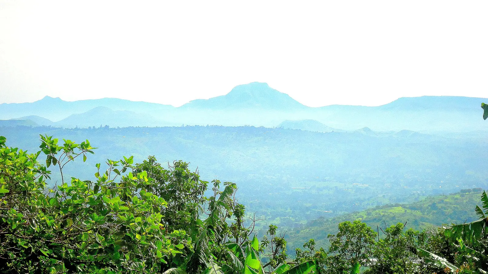
Koung-Khi, the smallest West division, just south of Bafoussam: Bandjoun and its chiefdom, Bayangam and Djebem above the Noun valley.
Subdivisions of Koung-Khi Division
Koung-Khi Division has 3 subdivisions.
Poumougne
Chief town: Bandjoun
Bayangam
Chief town: Bayangam
Djebem
Chief town: Demdeng
Places in Koung-Khi Division
Where it is and what it's like
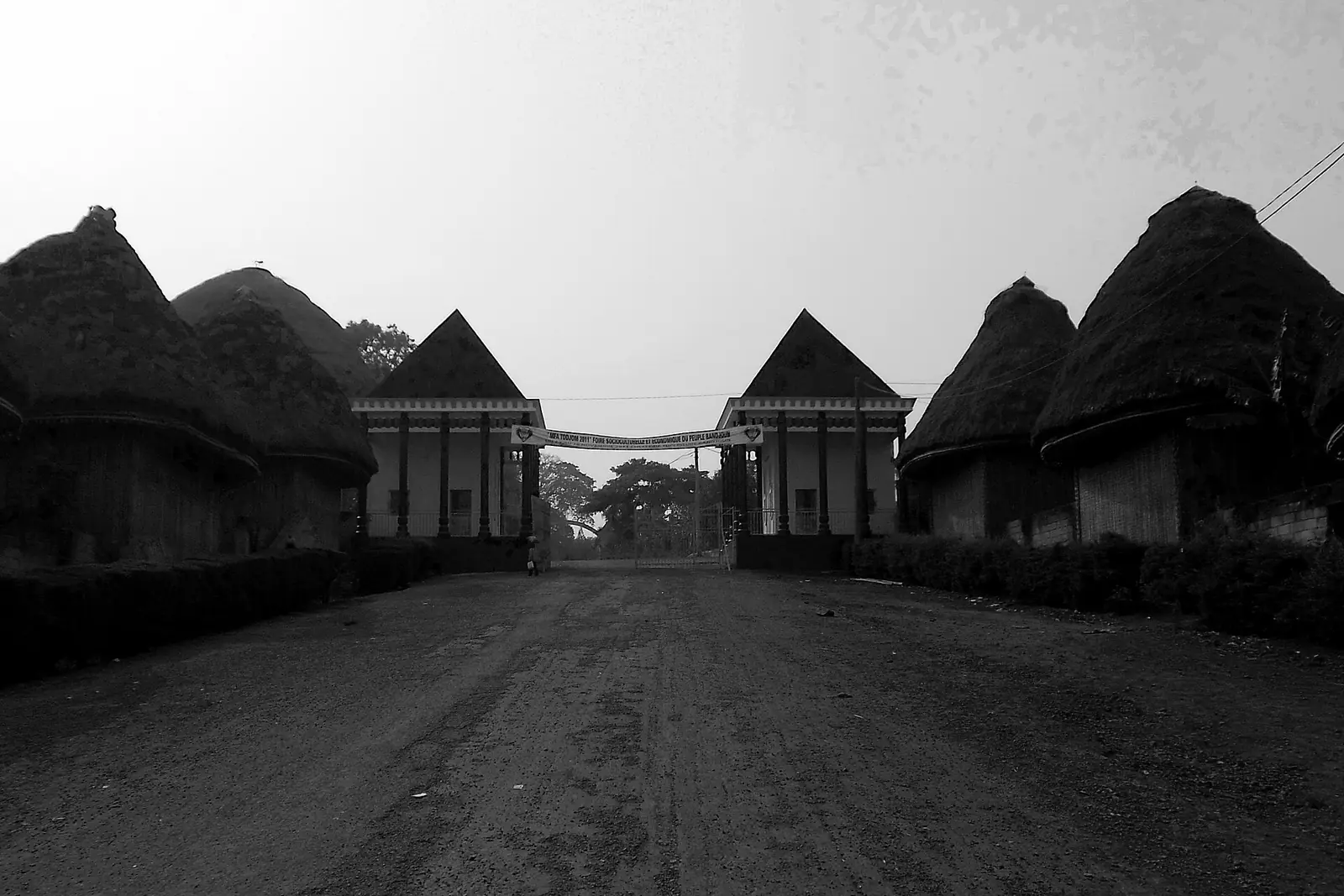
Koung-Khi is the smallest division of the West, at 353 km², just south of Bafoussam. Bandjoun, its chief town, lies on the right bank of the Mifi-Sud, 17 km south of Bafoussam, at an average altitude of about 1,440 m. Its commune is drained by the Nghuen, a tributary of the Noun, and the Nlemb, a tributary of the Mifi, and the Noun river separates it from Foumbot in the Noun division. Demdeng, the seat of Djebem subdivision, stands at about 1,500 m between the Bamoun hills and the Noun plain.1,5,6
People
The 2005 census counted 65,021 people. The 1987 count for the division is higher, 79,056, and the sources we read do not explain the drop. Poumougne subdivision had 40,637 people in 2005, Bayangam 13,397 and Djebem 10,987. The people of Bandjoun speak Ghomala', which covers most of the division. The Bandjoun chiefdom is one of the region's eleven first-degree chiefdoms.1,2,5,7
History
Koung-Khi was carved out of the old Mifi division in October 1992; French Wikipedia cites decree 92/207 of 5 October 1992. It began with two subdivisions, Poumougne and Bayangam, and a district at Djebem, with Bandjoun as chief town. Demdeng commune was split from the former Bandjoun rural commune in 1995, and the commune around Bandjoun, a rural commune since 1959, took the name Pète-Bandjoun in 2007. Administrative and common names differ: Poumougne subdivision matches Pète-Bandjoun commune, Djebem matches Demdeng, and OpenStreetMap labels the division Nkoung-Khi.8,6,5,4
What it's known for
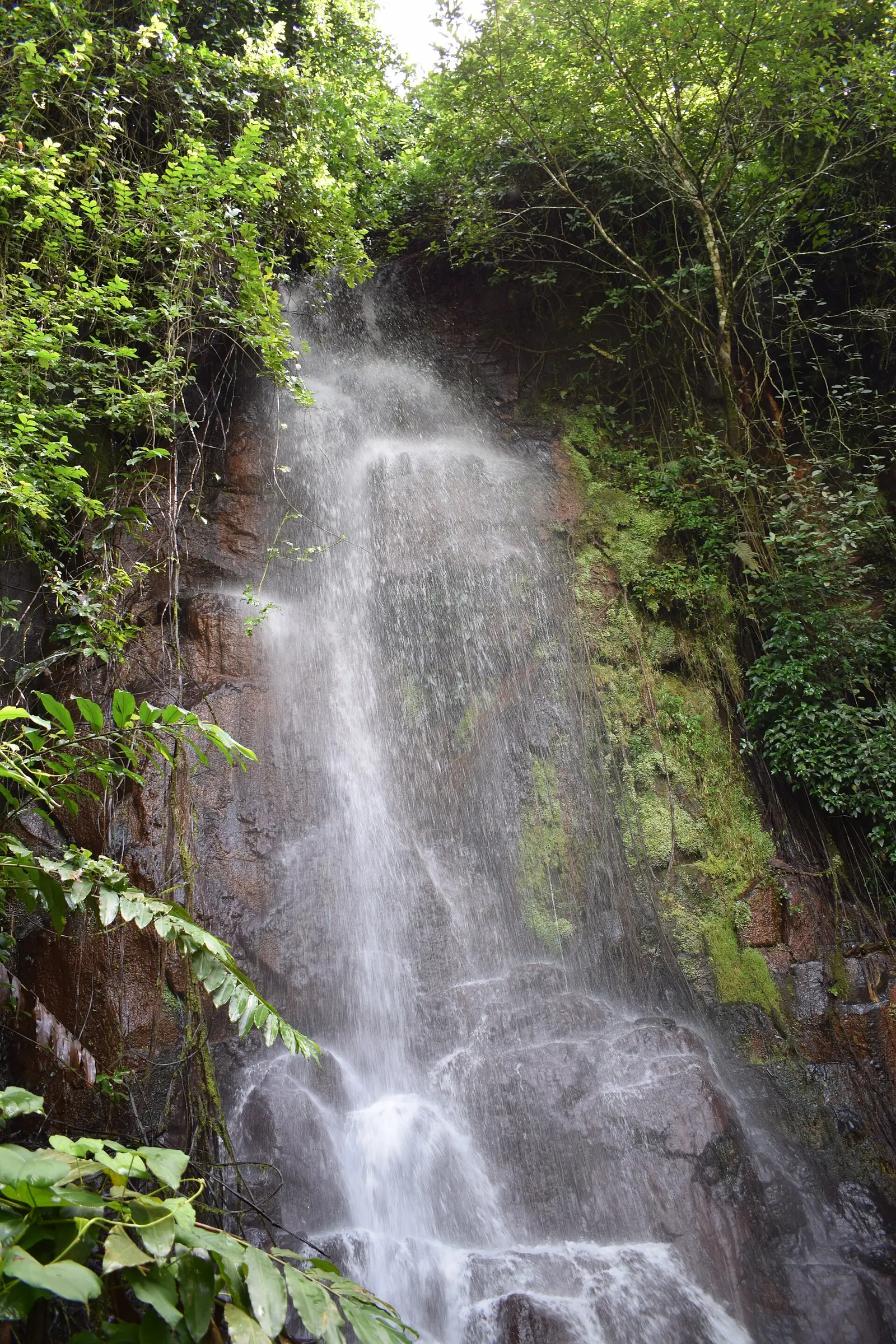
The site lists the Bandjoun chiefdom, which OpenStreetMap places in Pète-Bandjoun commune and the statistics office in Poumougne subdivision. French Wikipedia describes the Bandjoun kingdom as one of the largest Bamiléké chiefdoms and its royal museum as well known, and mentions green-bean plantations and a packing plant in the division. It also shows the Pebe waterfall near Bandjoun.4,1,5,8
Main towns and getting there
Bandjoun stands at the junction of National Road 5, from Douala, and National Road 4, from Yaoundé, on their way to Bafoussam. The statistics office gives road distances from Bafoussam of 12 km to Poumougne, 18 km to Djebem and 20 km to Bayangam; French Wikipedia puts Demdeng 11 km south-west of Bandjoun.5,1,6
In pictures
Map
Still to confirm
Our sources can't yet confirm these points:
- Why the 2005 census figure for Koung-Khi (65,021) is lower than the 1987 figure (79,056)
- The text of decree 92/207 of 5 October 1992 creating the division
- The official spelling of the Poumougne and Bayangam subdivisions (the statistics office writes 'Poumogne' and 'Bayamgam')
Sources for this page
Information checked on 19 November 2026. It may have changed since.
- Annuaire statistique de la région de l'Ouest, édition 2024: chapter 1 (relief, soils, rivers), Tableaux 1.1, 1.4, 2.1, 2.2 and 4.2 (sources: Governor's office, DR-MINTP, DR-ELECAM, BUCREP), Institut national de la statistique, Agence régionale de l'Ouest (undated)
- Cameroon: administrative division, census counts of 1987 and 2005 by division and arrondissement, City Population (Thomas Brinkhoff), citing BUCREP (19 November 2026)
- OpenStreetMap Nominatim: boundary relations of Koung-Khi and its subdivisions (lookup), OpenStreetMap contributors / Nominatim (19 November 2026)
- OpenStreetMap: boundary of Pete-Bandjoun commune, which contains the site's place coordinates (Overpass is_in query), OpenStreetMap contributors (19 November 2026)
- Bandjoun, Wikipédia (19 November 2026)
- Demdeng, Wikipédia (19 November 2026)
- Ghomala language, Wikipedia (19 November 2026)
- Koung-Khi, Wikipédia (19 November 2026)