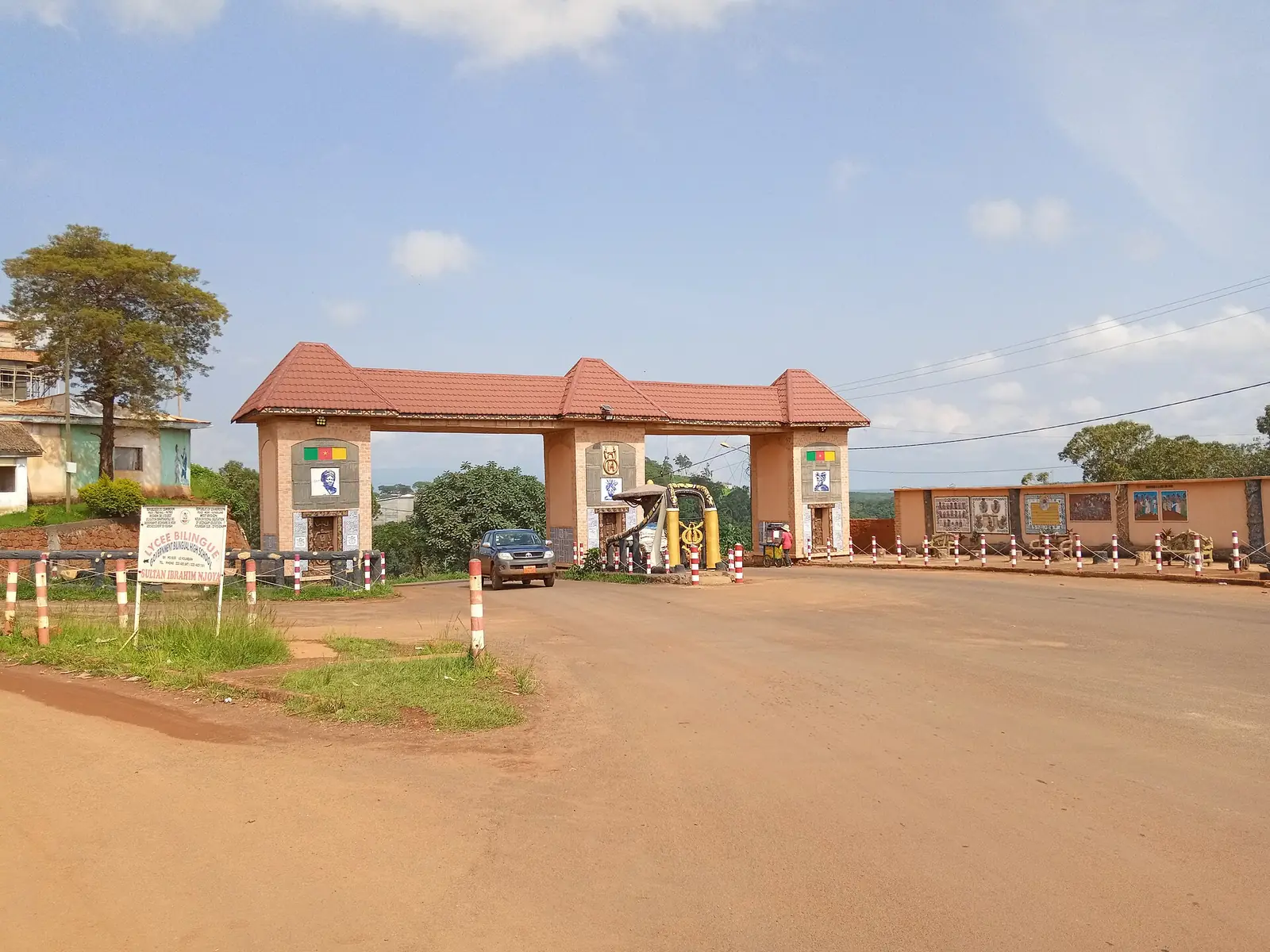
Noun, the West's largest division and the Bamoun kingdom: Foumban's palace, museums and artisans, the Nguon, and crater lakes near Foumbot.
Subdivisions of Noun Division
Noun Division has 9 subdivisions.
Foumban
Chief town: Foumban
Foumbot
Chief town: Foumbot
Kouoptamo
Chief town: Kouoptamo
Koutaba
Chief town: Koutaba
Bangourain
Chief town: Bangourain
Magba
Chief town: Magba
Malantouen
Chief town: Malantouen
Massangam
Chief town: Massangam
Njimom
Chief town: Njimom
Places in Noun Division
Where it is and what it's like
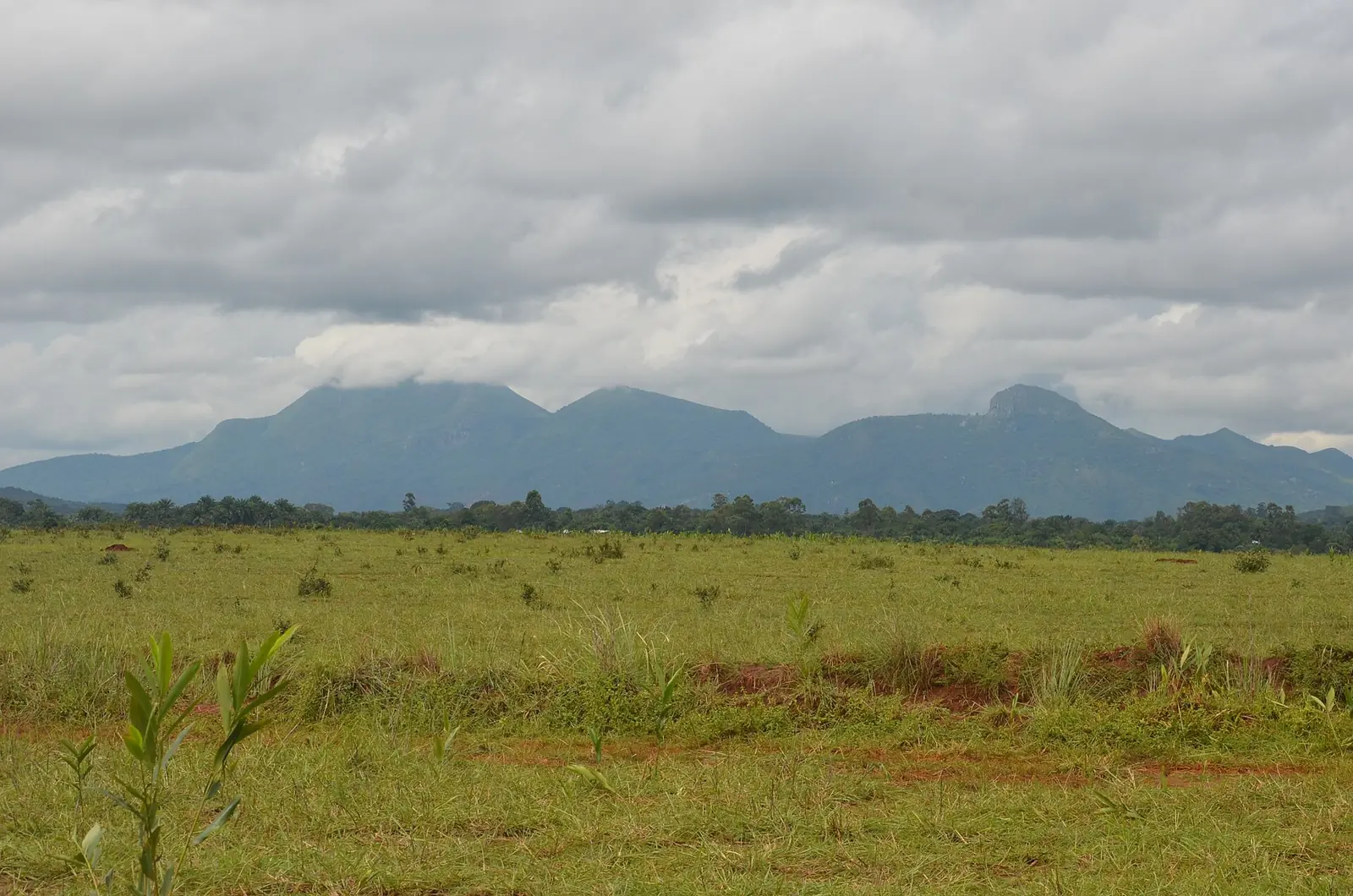
Noun is by far the largest division of the West. The statistics office gives 7,687 km² in its population table and 7,700 km² in its area table, more than half the region. It stretches east of the Noun river, which forms its western boundary. The statistics office notes the Noun plain, shared with Ndé, the Mapé basin, and very fertile volcanic soils at Foumbot. Mount Mbapit, between Foumbot and Foumban, rises to about 1,988 m above a crater lake 200 m below its rim, according to French Wikipedia; the statistics office gives 1,970 m.1,5,6
People
The 2005 census counted 455,083 people, the most of any division in the region, against 293,725 in 1987; the 2010 projection was 472,343. Foumban subdivision had 106,309 people in 2005, Foumbot 76,486, Koutaba 49,171, Kouoptamo 48,772, Malantouen 45,121, Massangam 38,736, Magba 35,628, Bangourain 30,877 and Njimom 23,983. The statistics office describes the Noun as mainly Bamoun, a people mostly Muslim today. Bamum, the Bamoun language, had an estimated 600,000 to 700,000 speakers in 2025.1,2,7
History
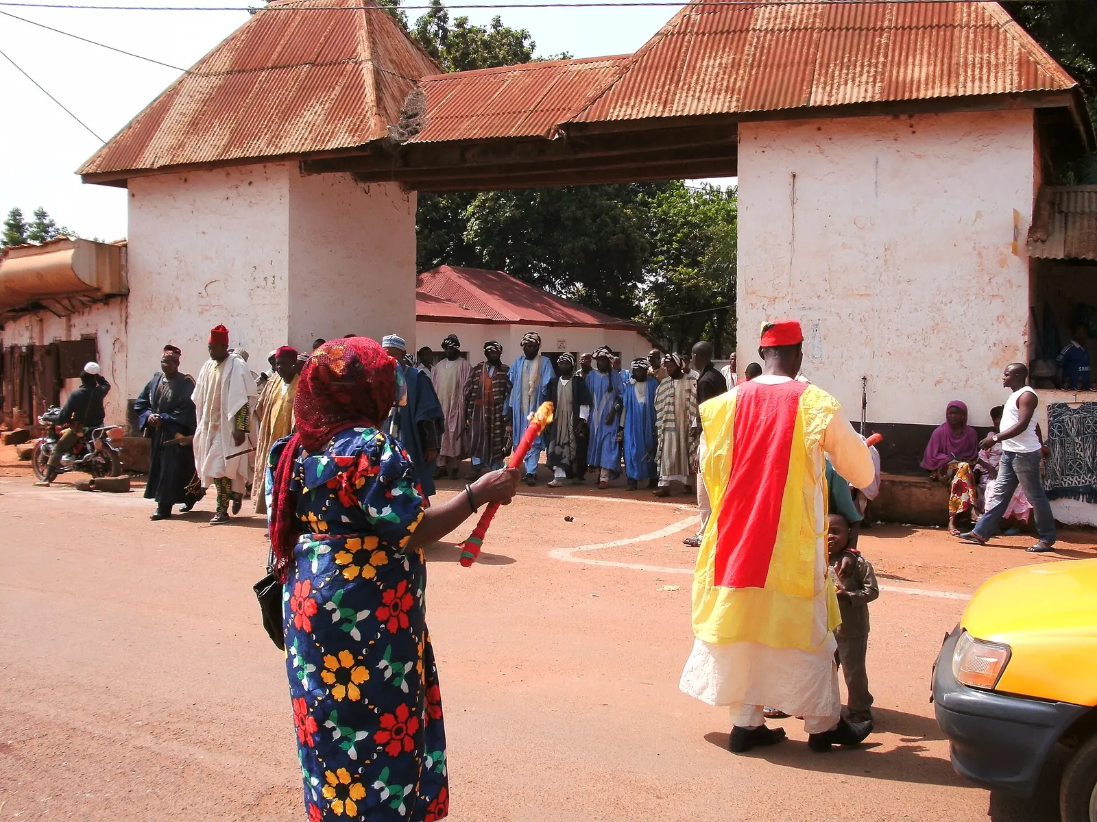
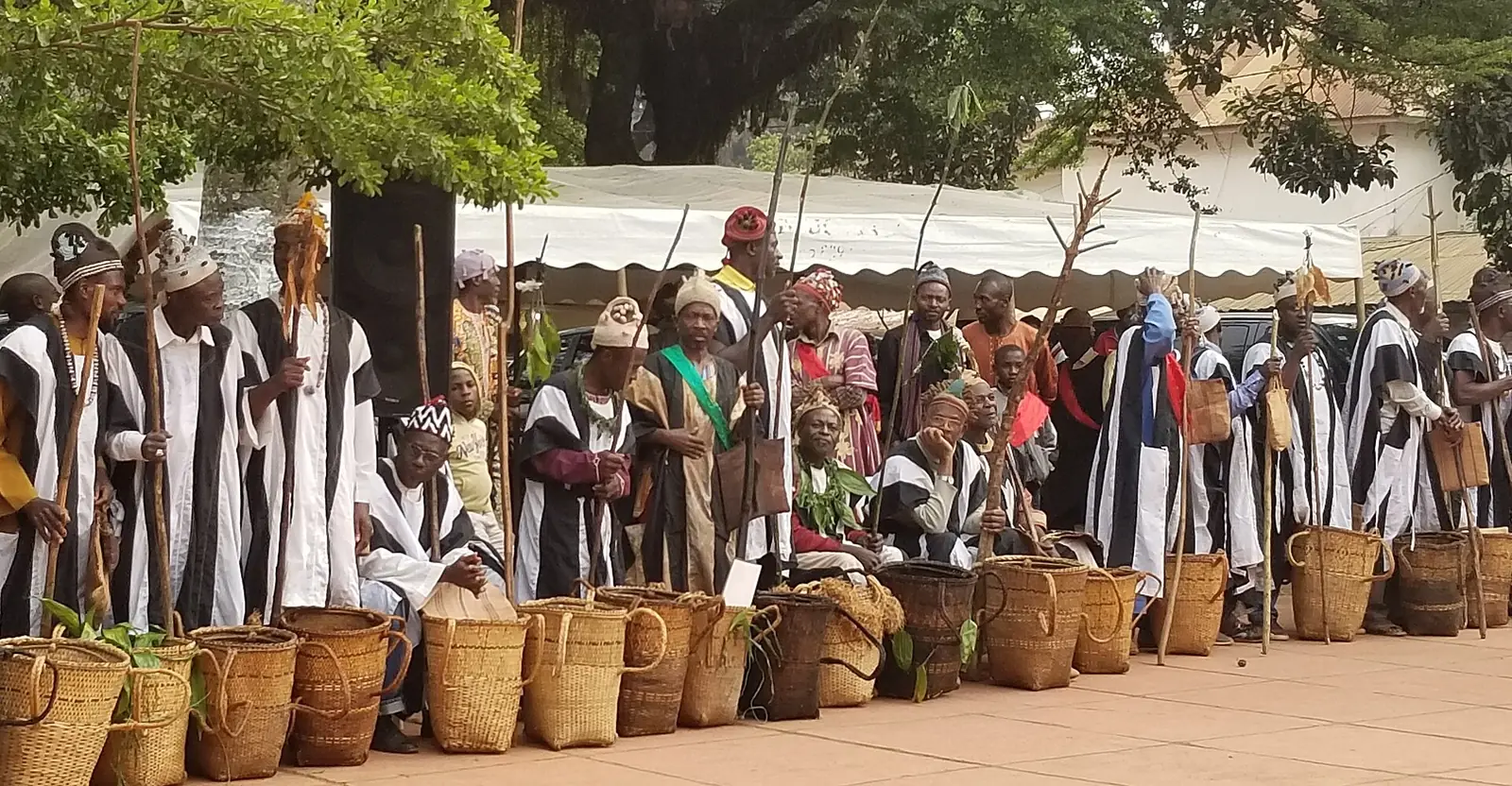
English Wikipedia dates the Bamoun dynasty to 1394, founded by Nshare Yen, though other sources give different dates. King Ibrahim Njoya developed the Bamum script, reduced to about 80 signs by 1910, and built the royal palace, completed in 1917. Colonial authorities suspended the Nguon, the kingdom's ritual review of the king's rule, in 1923; it was revived in 1992. French Wikipedia reports that during the independence conflict militias of the Bamoun sultan raided Bamiléké villages around Foumbot, destroying Bamendjin on 24 January 1961.8,9,10,11
What it's known for
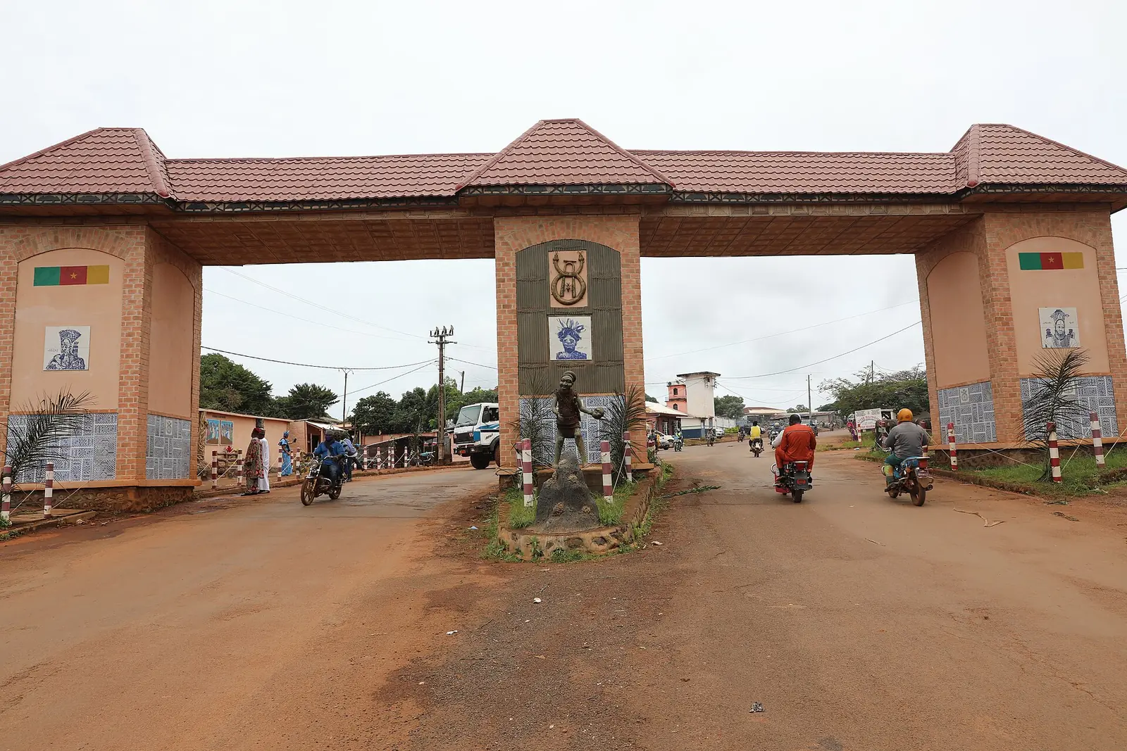
The site lists three places in Foumban subdivision: the royal palace, the Rue des Artisans, which links the palace and the Museum of Bamoun Arts and Traditions and is home to sculptors, basket makers, weavers and embroiderers, and the Nguon, held in Foumban. French Wikipedia adds Lake Monoun, a crater lake where a release of carbon dioxide on the night of 15 to 16 August 1984 killed at least 37 people at Njindoun, near Foumbot; the coffee plantations of the Cistercian abbey at Koutaba; and the pottery of Momaron.4,8,12,13,5
Main towns and getting there
Foumban, the chief town and historic Bamoun capital, lies on National Road 6, 70 km north-east of Bafoussam and 360 km north of Yaoundé, according to French Wikipedia. By road from Bafoussam, the statistics office gives 27 km to Foumbot, 45 km to Kouoptamo, 52 km to Koutaba, 79 km to Massangam, 92 km to Njimom, 104 km to Bangourain, and 135 km to both Magba and Malantouen.10,1
In pictures
Map
Still to confirm
Our sources can't yet confirm these points:
- The area of the Noun (7,687 or 7,700 km² in the statistics office's own tables)
- The founding date of the Bamoun kingdom (1394 on English Wikipedia; other sources differ)
- The official spellings of Malantouen and Njimom
- The height of Mount Mbapit (about 1,988 m or 1,970 m)
Sources for this page
Information checked on 19 November 2026. It may have changed since.
- Annuaire statistique de la région de l'Ouest, édition 2024: chapter 1 (relief, soils, rivers), Tableaux 1.1, 1.4, 2.1, 2.2 and 4.2 (sources: Governor's office, DR-MINTP, DR-ELECAM, BUCREP), Institut national de la statistique, Agence régionale de l'Ouest (undated)
- Cameroon: administrative division, census counts of 1987 and 2005 by division and arrondissement, City Population (Thomas Brinkhoff), citing BUCREP (19 November 2026)
- OpenStreetMap Nominatim: boundary relations of Noun and its subdivisions (lookup), OpenStreetMap contributors / Nominatim (19 November 2026)
- OpenStreetMap: boundary of Foumban commune, which contains the site's place coordinates (Overpass is_in query), OpenStreetMap contributors (19 November 2026)
- Noun (département), Wikipédia (19 November 2026)
- Mont Mbapit, Wikipédia (19 November 2026)
- Bamum language, Wikipedia (19 November 2026)
- Foumban, Wikipedia (19 November 2026)
- Bamum people, Wikipedia (19 November 2026)
- Foumban, Wikipédia (19 November 2026)
- Foumbot, Wikipédia (19 November 2026)
- Lac Monoun, Wikipédia (19 November 2026)
- Koutaba, Wikipédia (19 November 2026)