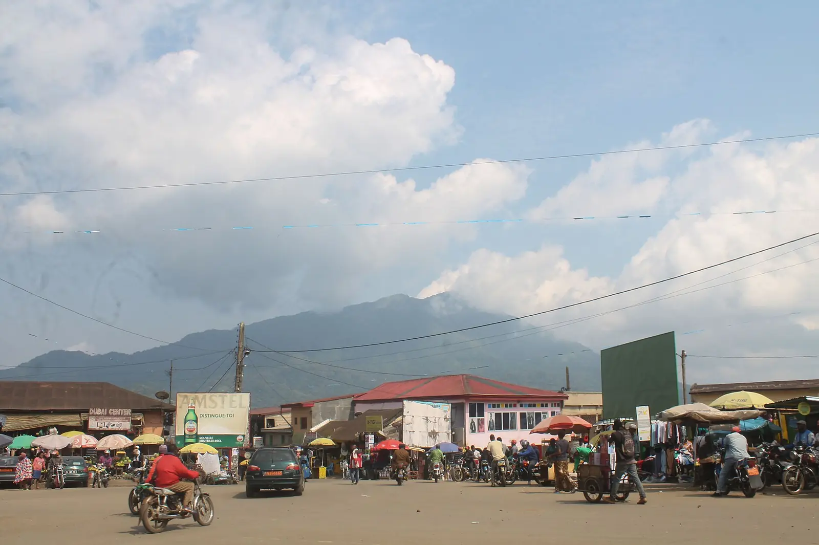
Moungo, the Littoral's farming division: banana and pepper country around Penja, rising to Mount Manengouba and the town of Nkongsamba.
Subdivisions of Moungo Division
Moungo Division has 13 subdivisions.
Abo-Fiko
Chief town: Bonaléa
Baré-Bakem
Chief town: Baré
Dibombari
Chief town: Dibombari
Loum
Chief town: Loum
Manjo
Chief town: Manjo
Mbanga
Chief town: Mbanga
Melong
Chief town: Melong
Mombo
Chief town: Mombo
Njombé-Penja
Chief town: Penja
Nkongsamba I
Chief town: Nkongsamba
Nkongsamba II
Chief town: Nkongsamba
Nkongsamba III
Chief town: Nkongsamba
Nlonako
Chief town: Ebone
Places in Moungo Division
Where it is and what it's like
Moungo covers 3,723 km² in the west of the Littoral, along the left bank of the Moungo river, which rises at the foot of the Rumpi hills in the Southwest region. Plateaux and hills in the south, up to Loum, reach about 900 m. The north is mountainous and volcanic, with the region's highest peaks: Manengouba, Koupé and Nlonako. Their heights vary by source: the statistics office gives 2,250, 2,070 and 1,850 m, while English Wikipedia gives 2,396 m for Manengouba.1,2,4
Its soils are the most varied in the region: rich brown soils suited to bananas, pineapples, coffee and cocoa, volcanic soils around Mbanga, Loum and Melong, sedimentary soils in the south from Mbanga to Dibombari, used for oil palm and cassava, and humus-rich soils on Koupé and Manengouba where tea and potatoes grow.1
People
History
German colonists built the Northern Railway from Bonabéri to Nkongsamba between 1906 and 1911. Sources give its length as 160 or 172 km. After the First World War the Mungo people were split between the British and French territories. In the 1950s the UPC's militant base here was largely made up of displaced banana planters and farmers.2,3,8
What it's known for
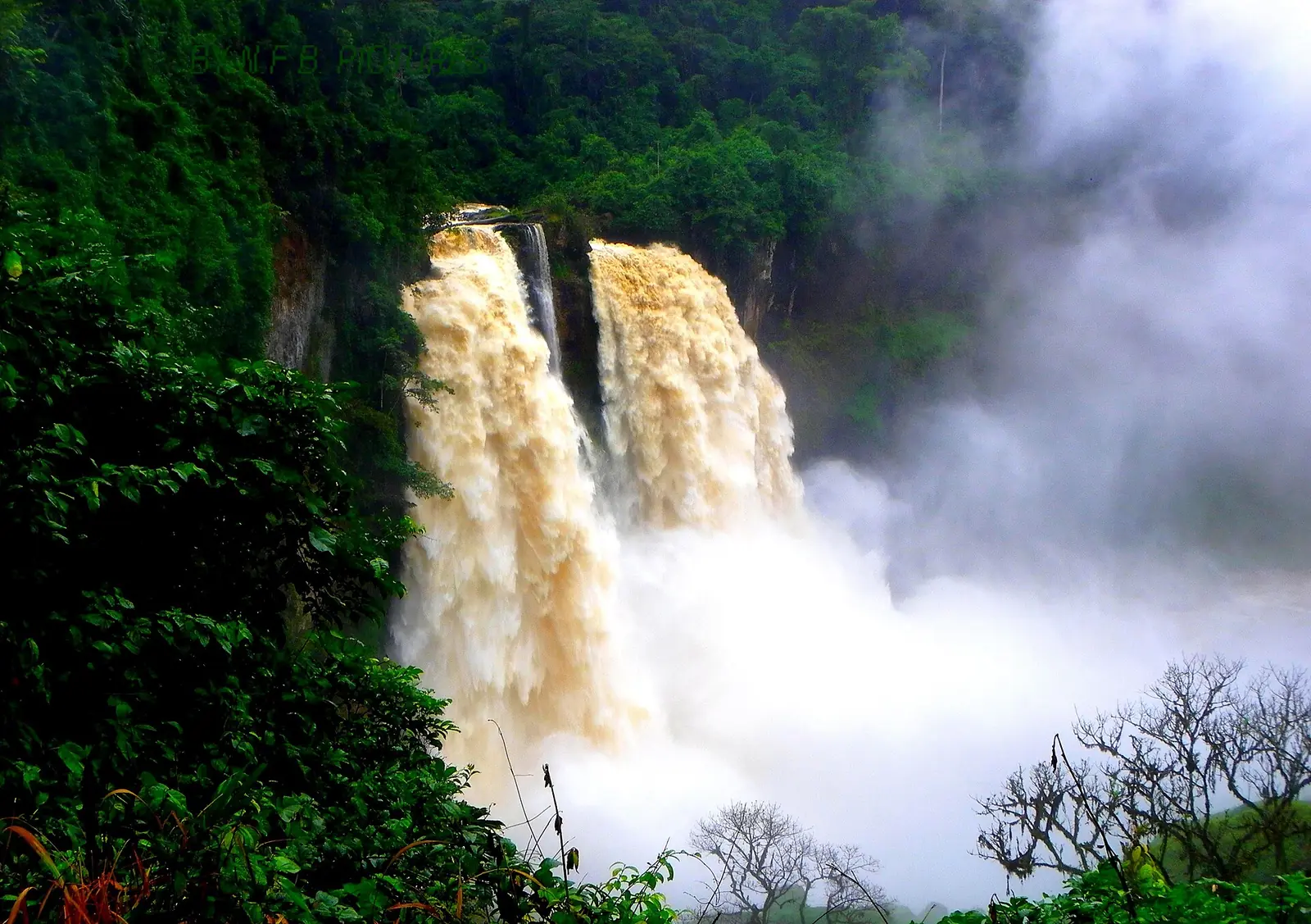
The site lists the Ekom-Nkam Waterfalls here. The regional tourism office places them in Baré-Bakem, but OpenStreetMap puts them across the Nkam in the West region's Haut-Nkam division, since the river is the boundary. The same office lists the twin crater lakes of Manengouba, the Mbouroukou cheese dairy and other sites around Melong, the pepper plantations of Penja, the Dibombari fortress and Mbonjo island at Bonaléa. Penja pepper is a protected geographical indication in the OAPI states and the European Union.5,6,7
Main towns and getting there
Nkongsamba, at about 826 m between Manengouba and Nlonako, is the chief town. English Wikipedia gives 104,050 people in 2005, and the statistics office 105,383 for its three subdivisions together. Other towns are Melong, Loum, Manjo, Mbanga, Penja and Dibombari. The railway from Douala still exists, but English Wikipedia says the last 50 km beyond Mbanga closed, and we could not confirm any passenger service.1,3
Map
Still to confirm
Our sources can't yet confirm these points:
- Official current population of Moungo (the INS 2020 projection barely differs from the 2005 census)
- Heights of Mount Manengouba, Koupé and Nlonako (INS and Wikipedia differ)
- Whether passenger trains run on the Douala–Nkongsamba line, and the main road route and travel time from Douala
- Which bank of the Nkam the Ekom-Nkam Waterfalls officially belong to
Sources for this page
Information checked on 18 November 2026. It may have changed since.
- Annuaire statistique de la région du Littoral, édition 2023 (data to 2022): Tableau 2-1 (administrative map, source MINATD), Tableau 2-2, Tableaux 4-1 to 4-3, Institut national de la statistique, Agence régionale du Littoral (undated)
- Moungo (department), Wikipedia (18 November 2026)
- Nkongsamba, Wikipedia (18 November 2026)
- Mount Manengouba, Wikipedia (18 November 2026)
- Penja pepper, Wikipedia (18 November 2026)
- Le Littoral en chiffres, édition 2023: Tableau 5-1, main tourist sites by arrondissement (source DRTOUR LT), Institut national de la statistique, Agence régionale du Littoral (undated)
- OpenStreetMap Nominatim: boundary relations of the Littoral's divisions and subdivisions (search), and reverse lookups of the site's place coordinates, OpenStreetMap contributors / Nominatim (18 November 2026)
- History of rail transport in Cameroon, Wikipedia (18 November 2026)