Bénoué, the North region division around Garoua and the Bénoué river, with the Lagdo dam and twelve subdivisions from Pitoa to Touroua.
Subdivisions of Bénoué Division
Bénoué Division has 12 subdivisions.
Garoua I
Chief town: Garoua
Garoua II
Chief town: Garoua
Garoua III
Chief town: Garoua
Pitoa
Chief town: Pitoa
Bibémi
Chief town: Bibémi
Tchéboa
Chief town: Ngong
Lagdo
Chief town: Lagdo
Dembo
Chief town: Dembo
Mayo-Hourna
Chief town: Barndaké
Demsa
Chief town: Gashiga
Touroua
Chief town: Touroua
Baschéo
Chief town: Baschéo
Places in Bénoué Division
Where it is and what it's like
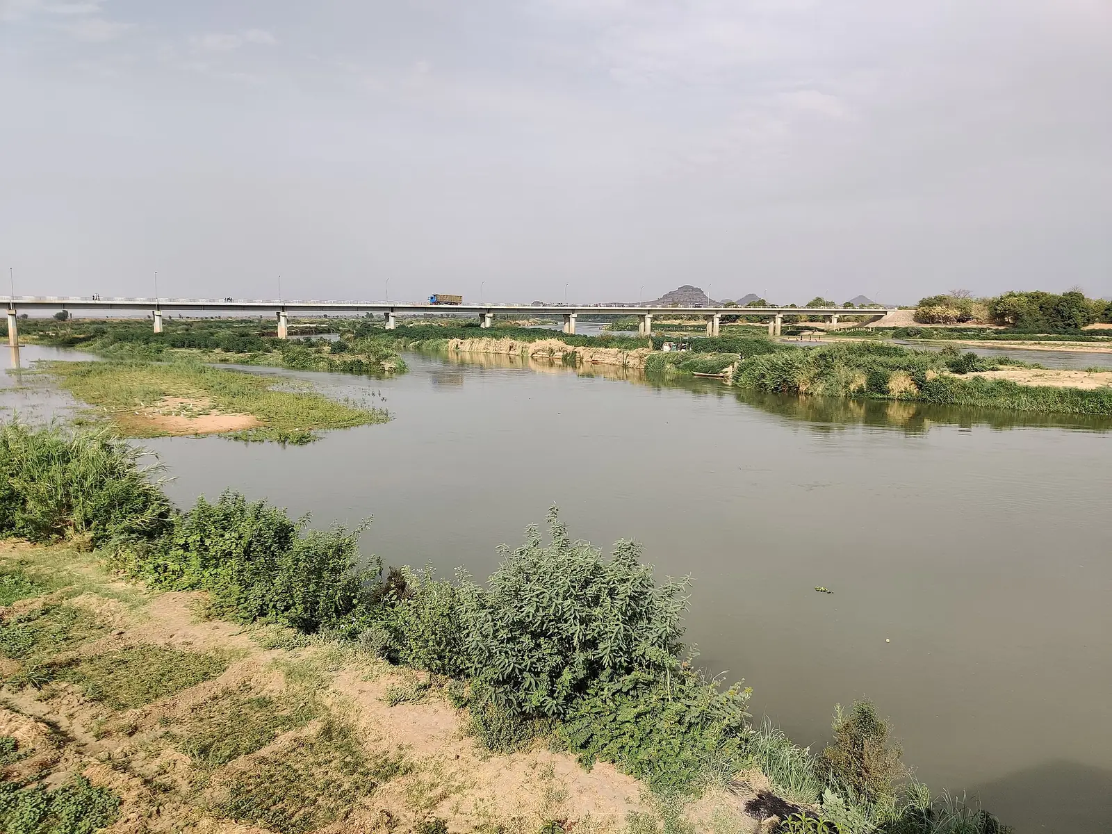
Bénoué is the central division of the North region and takes its name from the Bénoué river, which flows past Garoua at about 249 m. The statistics office gives its area as 13,294 km², and French Wikipedia as 13,614 km². Much of it belongs to the low plain of 200 to 300 m that the office describes across the region, with the Tingueling mountains rising within the division. South of Garoua the land is dry, grassy savanna with gallery forests; to the north, thorny steppe takes over.1,3,6
Upstream of Garoua, the Lagdo dam holds back the Bénoué. The statistics office says the reservoir feeds a hydroelectric plant and irrigation canals, and draws fishers from as far as Chad and the Central African Republic. According to the Lagdo commune, filling the reservoir in 1984 drowned the original village, and today's town grew up around the dam's workforce.1,4
People
The statistics office estimates 1,313,505 people for 2018, half the region's total, with 402,589 in Garoua's three subdivisions. These are projections, not a count. The office lists the region's peoples, among them Fulbe, Fali, Bata and Hausa, without breaking them down by division. Garoua has a large Fulbe population, according to English Wikipedia. At Lagdo, the commune says Nyem-Nyem and Bata farmers and fishers were the first settlers, before Fulbe herders arrived. Osidimbea lists Garoua and Bibémi as the division's first-class lamidates.1,3,4,2
History
English Wikipedia says the Fulani emir Modibbo Adama founded Garoua in the first half of the 19th century, and that in the steamship era it became a major river port, sending cotton, groundnuts and hides down the Bénoué to Nigeria. Osidimbea says today's division came out of the break-up of the old Bénoué. It dates Pitoa and Bibémi subdivisions to 1981, Dembo, Demsa, Lagdo, Tchéboa and Touroua to 1992, and the three Garoua subdivisions and Mayo-Hourna to 2007. Decree no. 93/321 of 25 November 1993 split the old Garoua rural commune into nine communes, Baschéo among them.3,2,4
What it's known for
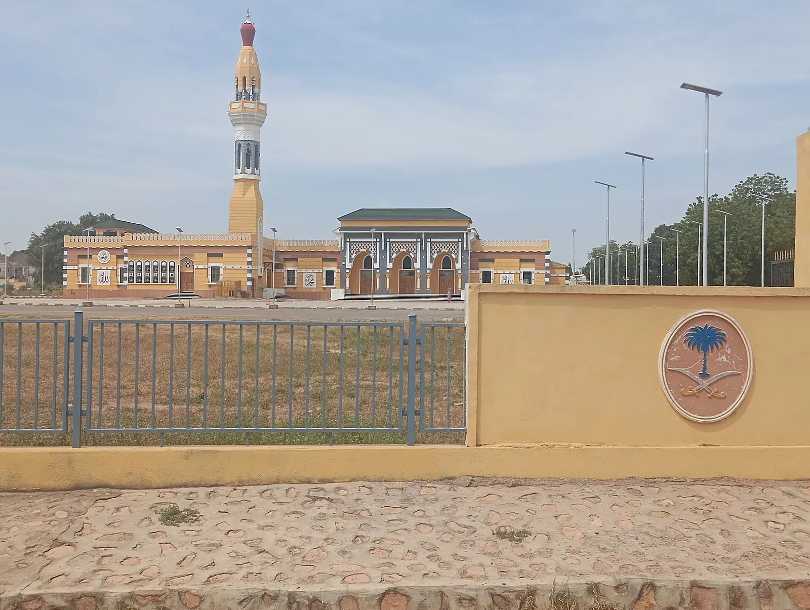
Garoua is the gateway to Bénoué National Park. The site's places in this division are the Garoua grand mosque, in the Poumpoumré quarter of Garoua II, and the Bénoué river. OpenStreetMap puts the Lagdo dam at Gounougou, in Bibémi subdivision, while most of the reservoir lies in Mayo-Rey's Rey-Bouba subdivision, so we list the lake there. English Wikipedia places Bénoué National Park in this division, but OpenStreetMap puts it in Mayo-Rey, so we list it there too. In Garoua, Wikivoyage also lists the artisan village, a public garden and a zoo.3,7,5,8
Main towns and getting there
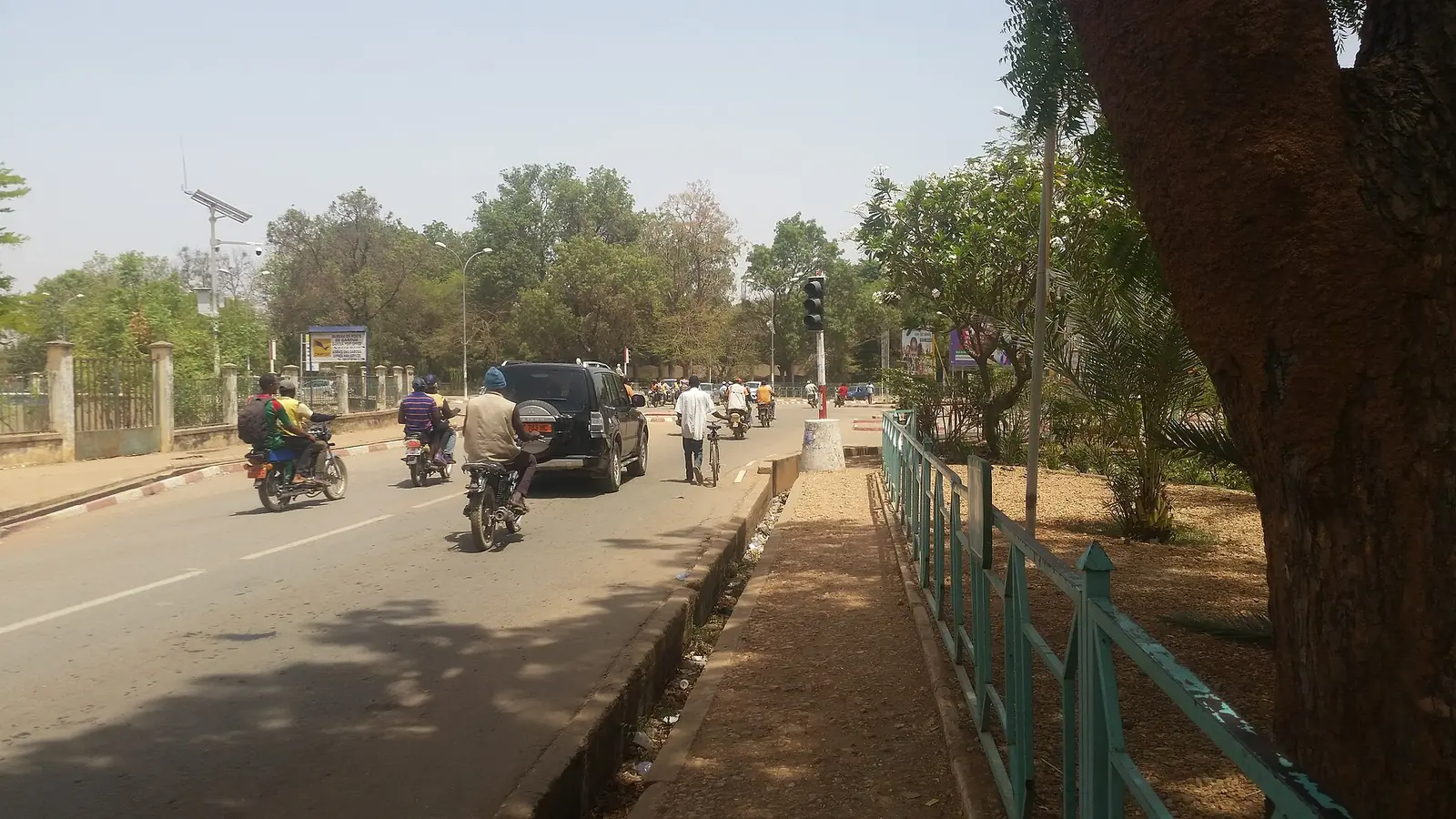
Garoua, the regional capital, lies on National Road 1 where the roads to Maroua and Ngaoundéré meet, and has an international airport; Wikivoyage lists flights from Douala, Maroua and N'Djamena. The other subdivision seats are Pitoa, Bibémi, Lagdo, Ngong, Gashiga, Barndaké, Dembo, Touroua and Baschéo. Lagdo is 65 km from Garoua, according to its commune.3,8,1,4
Map
Still to confirm
Our sources can't yet confirm these points:
- A census count of the division's population (the INS gives only a 2018 projection)
- The division's area (13,294 km² from the INS against 13,614 km² from French Wikipedia)
- Whether Baschéo is a full subdivision (Osidimbea doesn't list it) and the dates of the decrees creating each subdivision
- Which division Bénoué National Park officially belongs to, and how the Lagdo reservoir is shared between Bénoué and Mayo-Rey
- Coordinates for Garoua III
Sources for this page
Information checked on 19 November 2026. It may have changed since.
- Annuaire statistique de la région du Nord, édition 2019: chapitre 1 and Tableau 1-2 (areas, MINEPAT 2017 estimate), Tableau 2-1 (administrative map, source INS/MINAT), Tableau 4-1 (2018 population estimate, MINEPAT), Institut national de la statistique, Agence régionale du Nord (undated)
- Département de la Bénoué, Osidimbea, la mémoire du Cameroun (undated)
- Garoua, Wikipedia (19 November 2026)
- Commune de Lagdo - Cameroun (commune profile), Observatoire international de la démocratie participative, Afrique (undated)
- Bénoué National Park, Wikipedia (19 November 2026)
- Bénoué (département), Wikipédia (19 November 2026)
- Nominatim search and reverse lookups for the division's towns and the site's places, OpenStreetMap contributors / Nominatim (19 November 2026)
- Garoua, Wikivoyage (19 November 2026)