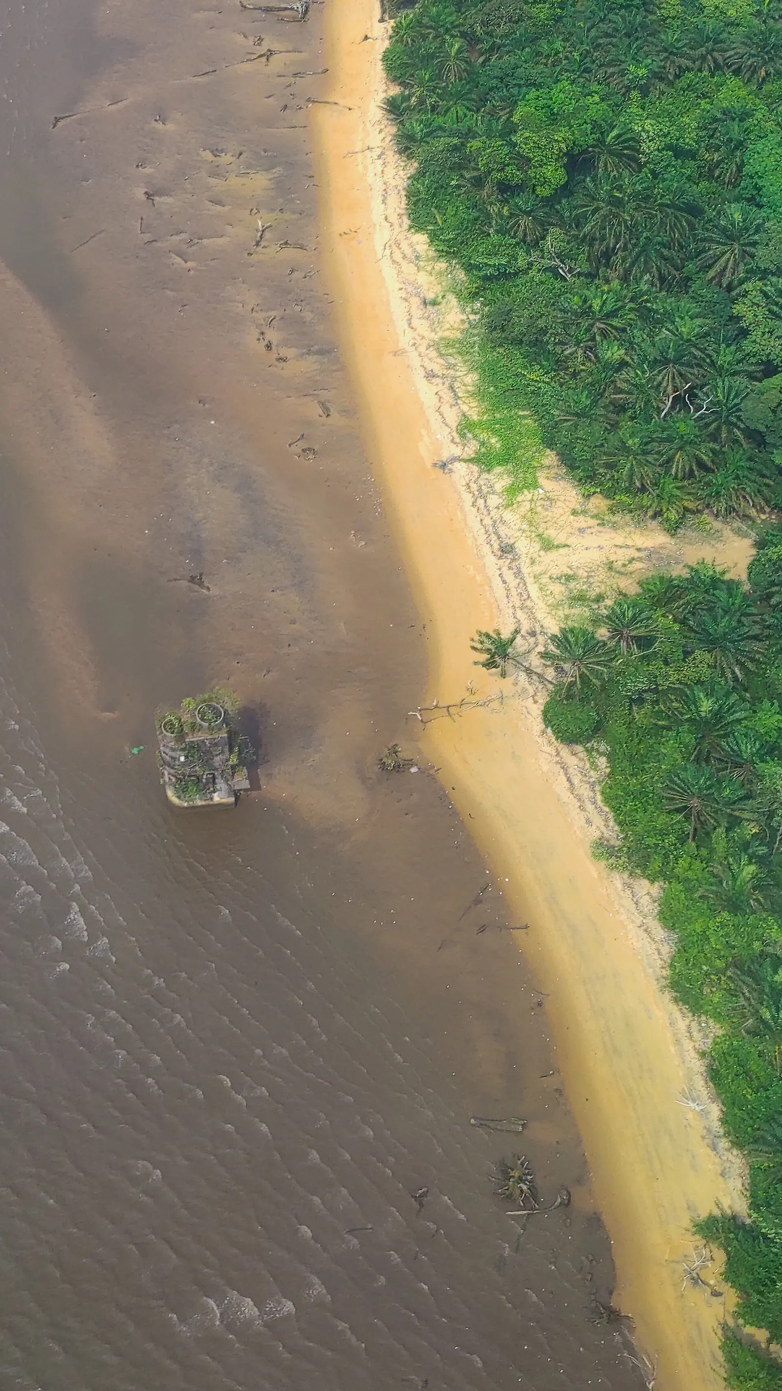
Douala VI, the island council of Douala: Manoka, Cameroon's largest island, the Wouri mouth's mangroves and the fishing villages of the Malimba.
What to see
2 places in Douala VI, each with its sources.
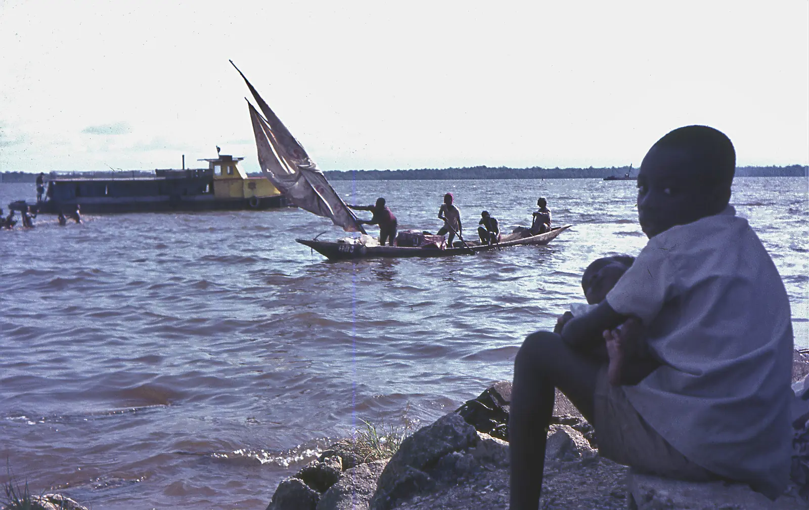
Wouri Estuary
Douala VI
The tidal estuary where the Wouri, Mungo and Dibamba meet the Atlantic at Douala, lined with mangroves and fishing villages, and the source of Cameroon's name.
Read the full guide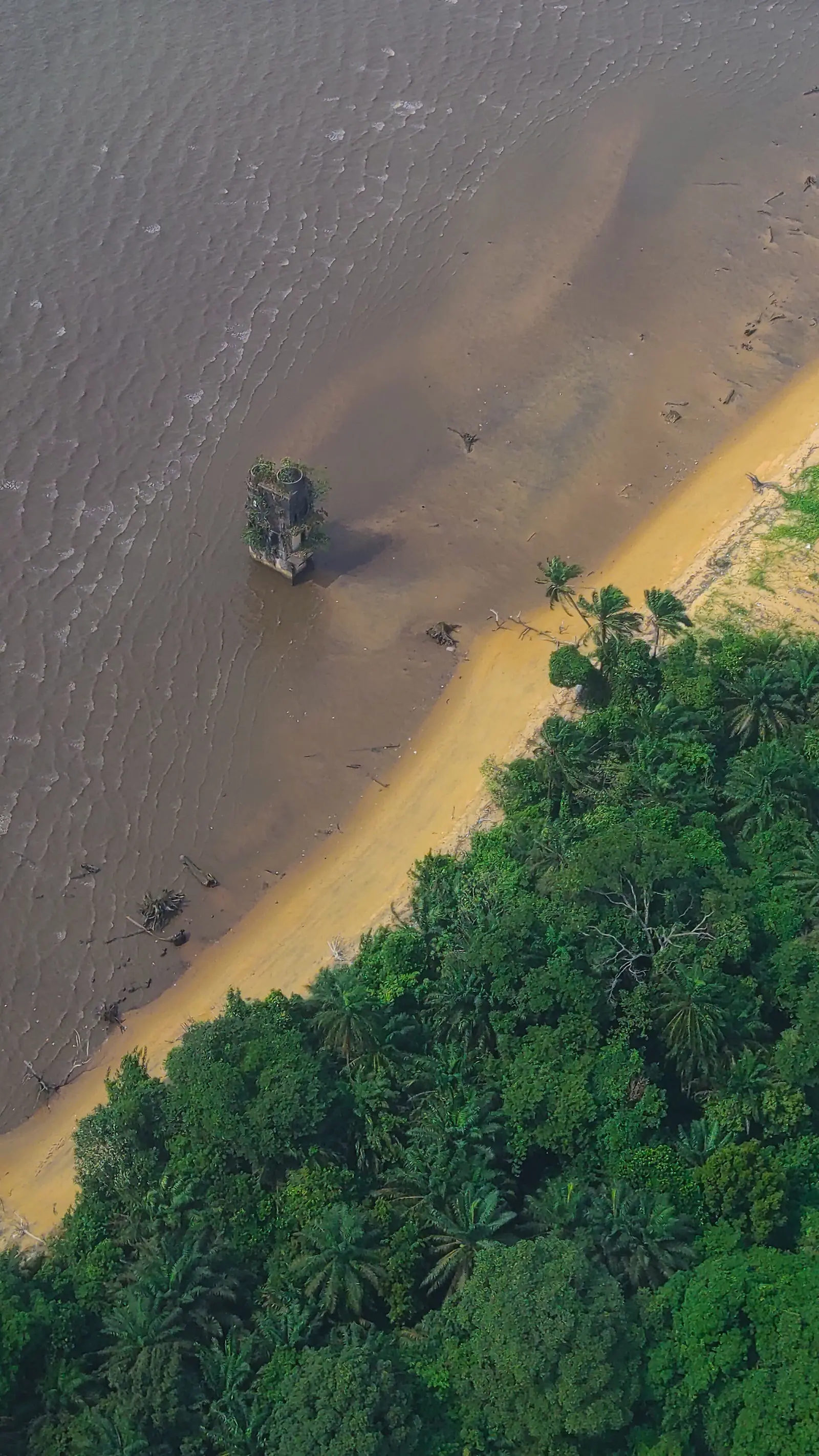
German-era ruins on Manoka
Manoka island, Douala VI
The unrestored ruin of a German colonial building on Manoka's shore, called a prison by some sources and a lighthouse by others.
Read the full guide
Islands and mangrove
Douala VI, the rural council of the Douala urban community, stretches from Manoka island across both banks of the Wouri mouth, south of Douala III and Douala IV. Most of it lies in the Central African mangroves ecoregion. Manoka, about 35 minutes by boat from the Youpwé fishing port, is Cameroon's largest island, and the statistics office notes its sandy beaches. Its indigenous people are the Malimba. The council was created as the rural commune of Manoka by decree 92/187 of 1 September 1992, by splitting Douala IV; Osidimbea's Douala IV page dates the split to 1993.1,6,8,4,3,9
Ernest Edimo has led the council since 1996, French Wikipedia says; Osidimbea's table names him for the term begun in 2020. In September 2026 Cameroon Tribune reported a review of the 2020–2025 term with the city mayor, citing a health centre at Toubé, a veterinary centre at Manoka, two boreholes at Sandje II, 700 m of paving at Kwansi and a small water network. Councils elected in February 2020 have had their mandate extended to 28 February 2027.1,3,7,10
People
The 2005 census counted 5,464 people in all of Douala VI, 517 of them in Manoka town. A 2023 Gavi report puts the population of the Manoka health district, a cluster of 47 islets, at just under 20,000, about 70% of them immigrants from neighbouring countries drawn by fishing; the two figures cover different years and possibly different areas. French Wikipedia describes 46 fishing camps on Manoka, where Nigerian fishermen are the majority, women do most of the fish smoking and Cameroonian traders often own the canoes.4,6,8
Villages
French Wikipedia groups the villages in three areas: Manoka island, and the right and left banks of the Wouri. They include Manoka, Dahomey, Number One Creek, Epaka, Bwapé, Kombo, Bouma, Cap Cameroun, Petit Toubé, Missipi, Matanda Massadi and Moundjou island. Distances are long: Gavi notes that a commercial boat from Cap Cameroun to Manoka takes two days.1,8
Environment and livelihoods
Manoka island is mostly forest, 65% mangrove and 25% dry-land forest, and 55% of it lies in Douala-Edéa National Park, English Wikipedia says. A 2022 study found that forest cover fell by about 4% between 1986 and 2018 while settlements grew from 15 ha to 90.4 ha, driven mainly by fuelwood cutting and clearing for farms and housing. Fishing, fish smoking, sand extraction and mangrove logging are the main activities. French Wikipedia reports no piped water or grid electricity on Manoka, with drinking water fetched in drums from Youpwé.11,12,6
What to see
Getting there
Map
What visitors say
We summarise accounts published elsewhere and link to the original. These aren't reviews collected by this site, and we don't show a rating.
We haven't yet found a published visitor account for this place.
Check before you go
Our sources can't yet confirm these points:
- Whether Douala VI was created in 1992 (decree 92/187) or 1993 (Osidimbea's Douala IV page)
- A current population figure: 5,464 in the 2005 census against 'just under 20,000' for the Manoka health district in 2023
- Whether boat services from Youpwé are scheduled, and their fares
- The German-era ruins on Manoka: whether the building was a prison, a lighthouse or both, its date and exact position; the main accounts rely on blogs and local testimony
- The story that the island was once called Malendè and renamed after a German nun, which French Wikipedia gives without sources
- Whether the beaches noted by the statistics office are accessible to visitors
- Recent general photographs of Manoka island and its villages
Sources for this page
Information checked on 18 November 2026. It may have changed since.
- Douala VI, Wikipedia (French) (6 June 2026)
- OpenStreetMap Nominatim: searches and reverse lookups for Douala's town halls, quarters and sights, OpenStreetMap contributors / Nominatim (18 November 2026)
- Commune d'arrondissement de Douala 6ème (Manoka), Osidimbea, la mémoire du Cameroun (undated)
- Annuaire statistique de la région du Littoral, édition 2023: Tableau 2-1 (administrative map), Tableau 4-2 (area and population by arrondissement, 2005 census), Tableau 4-3 (projections 2017–2020) and chapter 1 (relief), Institut national de la statistique, Agence régionale du Littoral (undated)
- Cameroon: administrative division (2005 census by arrondissement, from BUCREP and INS), City Population (Thomas Brinkhoff) (undated)
- Manoka, Wikipedia (French) (24 September 2025)
- Gouvernance participative : le maire de la ville à Manoka, Cameroon Tribune (15 September 2026)
- Navigating rough waters: reaching the zero-dose children of Manoka Island, Gavi, the Vaccine Alliance (VaccinesWork) (23 January 2023)
- Commune d'arrondissement de Douala 4ème, Osidimbea, la mémoire du Cameroun (undated)
- Mandate of municipal councillors extended from June 1, 2026 to February 28, 2027, CRTV (4 May 2026)
- Manoka, Wikipedia (English) (6 October 2026)
- Land cover and land use changes between 1986 and 2018, and preliminary carbon footprint implications for Manoka Island (Littoral Region of Cameroon), Sustainability 14(10): 6301 (abstract), Tatuebu Tagne et al., via CGSpace (CGIAR) (22 May 2022)
- Le Littoral en chiffres, édition 2023: Tableau 5-1, main tourist sites by arrondissement (source DRTOUR LT), Institut national de la statistique, Agence régionale du Littoral (undated)
Planning a trip to Douala VI?
Tell us what you'd like to see, and Global Bush Travel will email you a quotation.