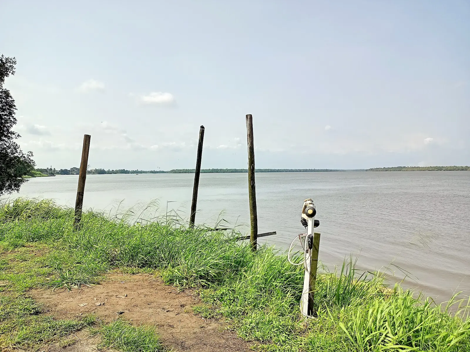
Douala IV is Bonabéri, the old Hickory Town on the Wouri's right bank: Lock Priso's kingdom, an industrial zone and the canoes to Djébalè island.
What to see
3 places in Douala IV, each with its sources.
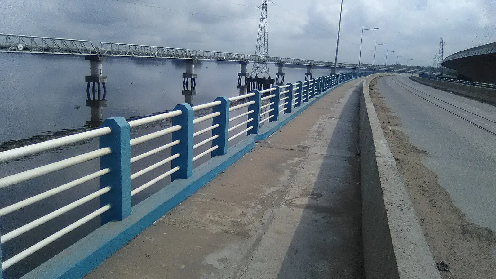
Wouri bridges
Deïdo to Bonabéri, Douala IV
The 1,830 m concrete bridge of 1955 and the road and rail bridge of 2017 that link central Douala to Bonabéri across the Wouri.
Read the full guide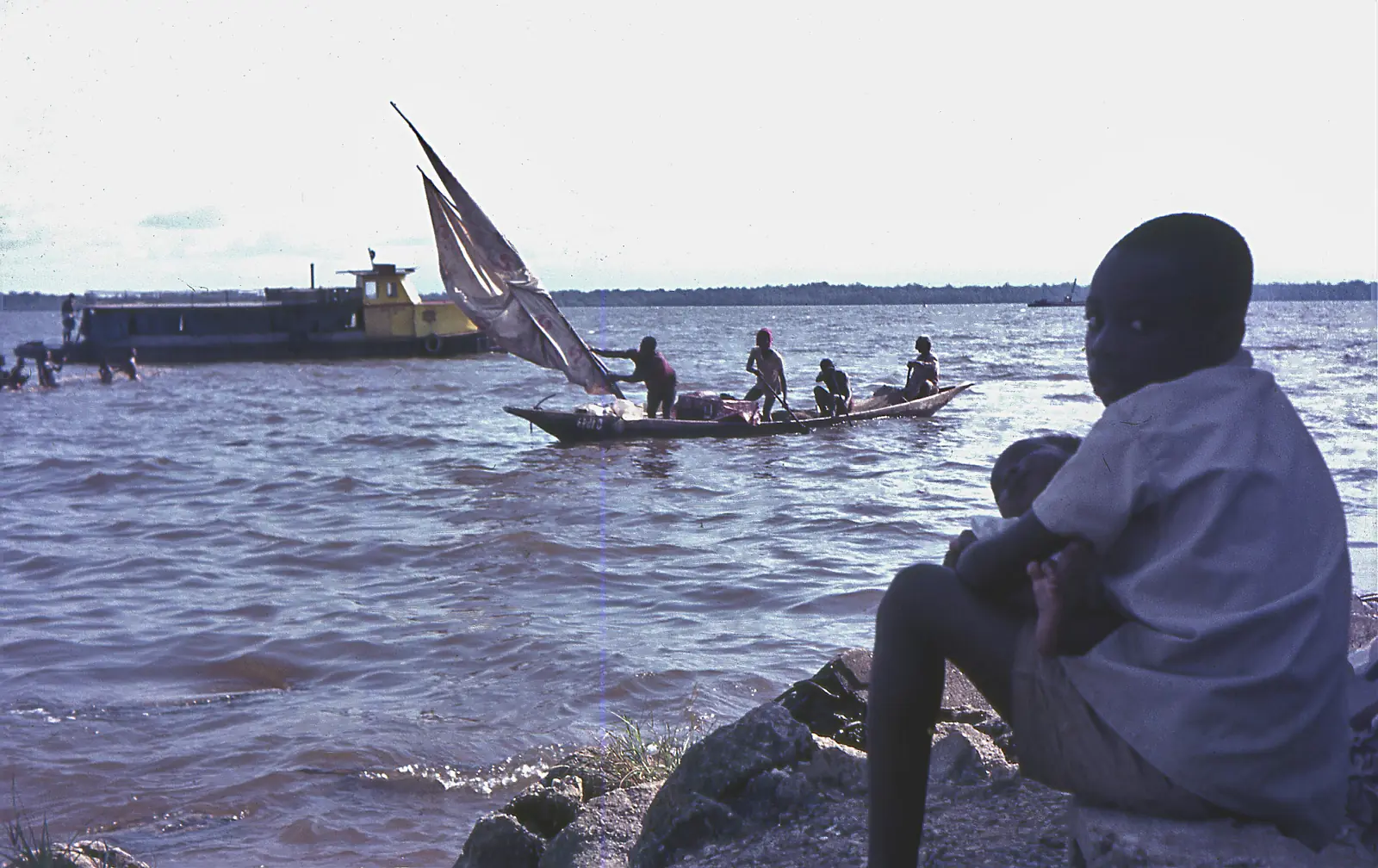
Wouri Estuary
Douala IV
The tidal estuary where the Wouri, Mungo and Dibamba meet the Atlantic at Douala, lined with mangroves and fishing villages, and the source of Cameroon's name.
Read the full guide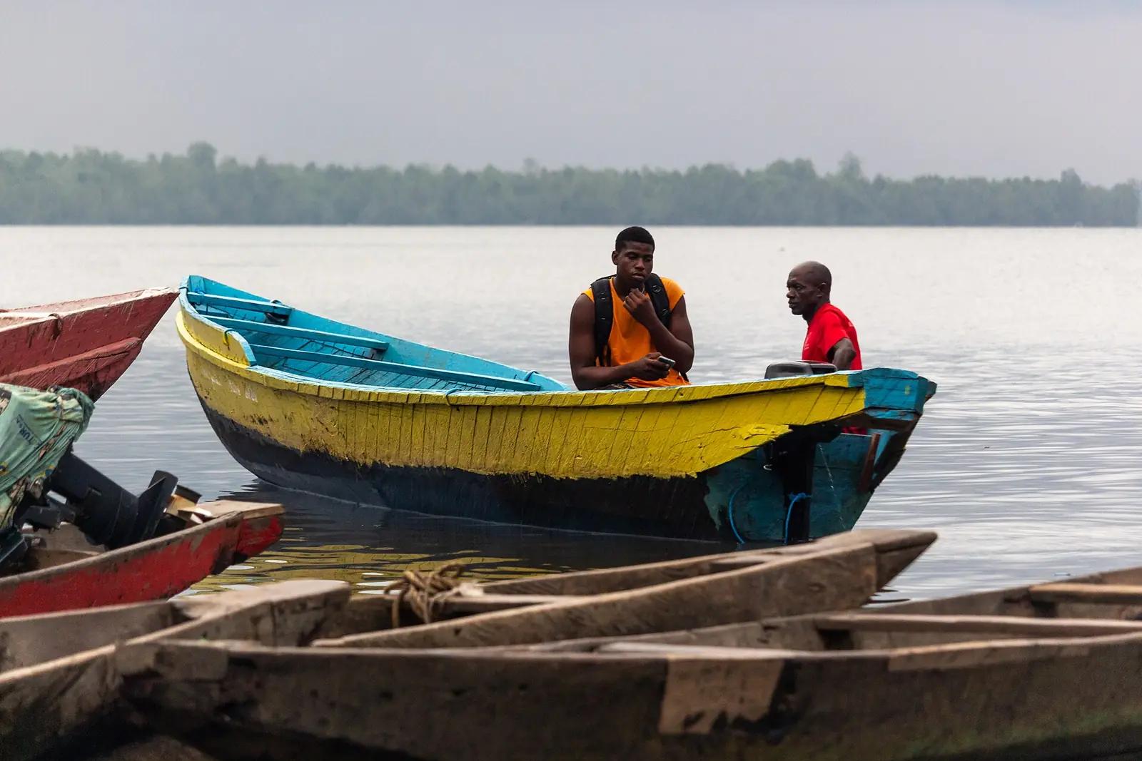
Djébalè island
Djébalè, Douala IV, Douala IV
A quiet fishing island in the Wouri, reached by canoe from Bonassama, with an old church and a shrine of the jengu water-spirit initiates.
Read the full guide
Bonabéri, the right bank
Douala IV is Bonabéri, the part of Douala on the right bank of the Wouri: a peninsula facing the rest of the city, joined to it by the two Wouri bridges. It stretches from Bonassama, on its southern tip, to the edge of the Moungo division at Bojongo, Ndobo and Bonendale. French Wikipedia describes a mix of industry, housing estates and informal settlement, and calls it the most bilingual quarter in Cameroon, as the gateway to the West and the anglophone regions.1,7
The 2005 census counted 250,626 people. The statistics office gives an area of 65 km², French Wikipedia 35 km². The council, created in 1987, sits at Bonassama. Its territory once included Manoka, which became Douala VI under decree 92/187 of 1 September 1992; Osidimbea's Douala IV page dates the split to 1993.4,1,2,8
Edouard Hervé Moby Mpah, a doctor and teacher, has been mayor since 2020. Cameroon Tribune reported a council session he chaired on 15 October 2026. Councils elected in February 2020 have had their mandate extended to 28 February 2027.2,1,6,9
History: Hickory Town
Early European explorers called it Hickory Town; by 1826 it was one of Douala's four villages. Its people belong to the same Duala clan as Bonanjo. Its king, Lock Priso Bell, or Kum'a Mbape, ruled for nearly 70 years (1846–1916) and refused to sign the Germano-Duala treaty of 12 July 1884. On 28 August 1884 he wrote in pidgin to the German consul Max Buchner: 'Pull that flag down… no man buy we'. German warships bombarded the town in December 1884; the temple built by Joseph Jackson Fuller was destroyed and the carved prow (tangué) of Lock Priso's canoe was taken, and it is now in the ethnological museum in Munich.1,10,11
Between 1906 and 1911 the Germans built the Northern Railway from Bonabéri to Nkongsamba, and in 1955 a bridge over the Wouri joined it to the Central line. From the mid-1980s industries settled on Bonabéri's cheaper land, drawing people across the river.12,7
Quarters
The council has two groupings, Douala Ville and Bele Bele, with 20 quarters, among them Bonassama, Besseke, Grand Hangar, Mambanda, Ndobo, Sodiko, Bojongo, Bonendale and Djébalè. The Belle Belle chiefdom, one of Wouri's six first-class chiefdoms, has its seat here. Bonassama holds the sub-prefecture, the town hall and the district hospital. Mambanda, a riverside fishing quarter of about 500 ha, owes its name to a tree called matanda. Bonendale began as a fishing village and has the SODEPA abattoir.1,3,13,14
Industry
What to see
The Wouri bridges land in Bonabéri. The regional tourism office lists Djébalè island and the Matanda mangroves among Douala IV's main sites.16
Getting around
Map
What visitors say
We summarise accounts published elsewhere and link to the original. These aren't reviews collected by this site, and we don't show a rating.
We haven't yet found a published visitor account for this place.
Check before you go
Our sources can't yet confirm these points:
- Which of the two area figures is right: 65 km² (INS) or 35 km² (French Wikipedia)
- Whether Douala VI was split from Douala IV in 1992 (decree 92/187) or 1993 (Osidimbea)
- What and where the 'Matanda mangroves' on the regional tourism office's list are: a riverside leisure complex called Les Palétuviers Matanda operates in Douala IV
- Where the 'Grand Baobab' listed by Osidimbea stands
- The quarter of the town hall: Bonassama per French Wikipedia and Osidimbea; OpenStreetMap tags it in Besseke on the Nouvelle Route
- Whether the Bonabéri railway station still has passenger trains
Sources for this page
Information checked on 18 November 2026. It may have changed since.
- Bonabéri (Douala IV), Wikipedia (French) (6 June 2026)
- Commune d'arrondissement de Douala 4ème, Osidimbea, la mémoire du Cameroun (undated)
- Bonassama, Wikipedia (French) (14 October 2026)
- Annuaire statistique de la région du Littoral, édition 2023: Tableau 2-1 (administrative map), Tableau 4-2 (area and population by arrondissement, 2005 census), Tableau 4-3 (projections 2017–2020) and chapter 1 (relief), Institut national de la statistique, Agence régionale du Littoral (undated)
- Cameroon: administrative division (2005 census by arrondissement, from BUCREP and INS), City Population (Thomas Brinkhoff) (undated)
- Douala IV : nette augmentation des recettes, Cameroon Tribune (21 October 2026)
- Quartiers de Douala, Wikipedia (French) (1 October 2026)
- Commune d'arrondissement de Douala 6ème (Manoka), Osidimbea, la mémoire du Cameroun (undated)
- Mandate of municipal councillors extended from June 1, 2026 to February 28, 2027, CRTV (4 May 2026)
- Douala, Wikipedia (English) (11 November 2026)
- Lock Priso Bell, Wikipedia (French) (10 October 2026)
- History of rail transport in Cameroon, Wikipedia (English) (2 November 2026)
- Mambanda, Wikipedia (French) (24 May 2026)
- Bonendale, Wikipedia (French) (1 September 2026)
- Zone industrielle de Douala-Bassa, Wikipedia (French) (14 May 2026)
- Le Littoral en chiffres, édition 2023: Tableau 5-1, main tourist sites by arrondissement (source DRTOUR LT), Institut national de la statistique, Agence régionale du Littoral (undated)
- Djébalè, Wikipedia (French) (24 October 2026)
Planning a trip to Douala IV?
Tell us what you'd like to see, and Global Bush Travel will email you a quotation.