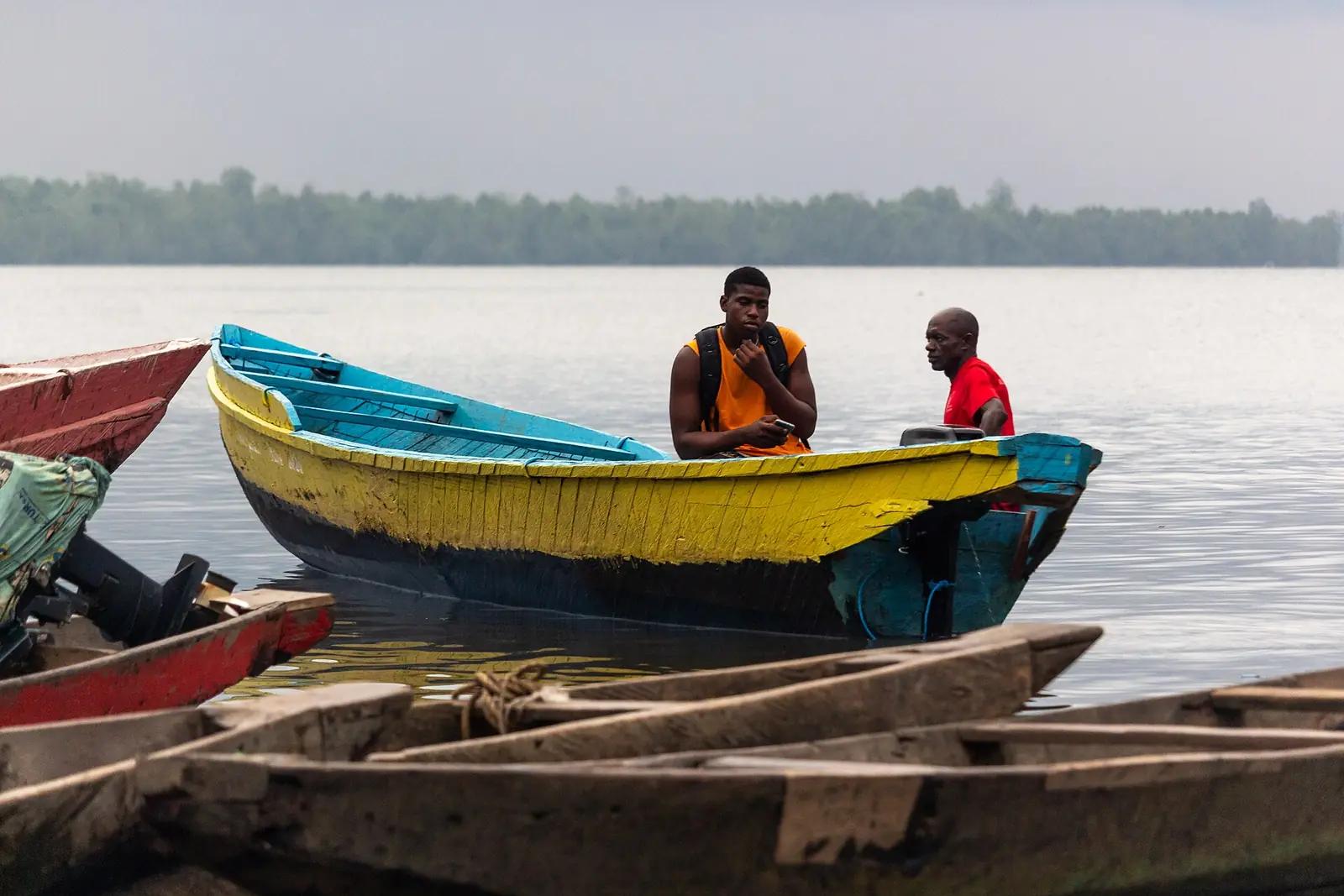
- Crossing
- By canoe from Bonassama: about 45 min paddling, 15 min with a motor1
An island in the Wouri
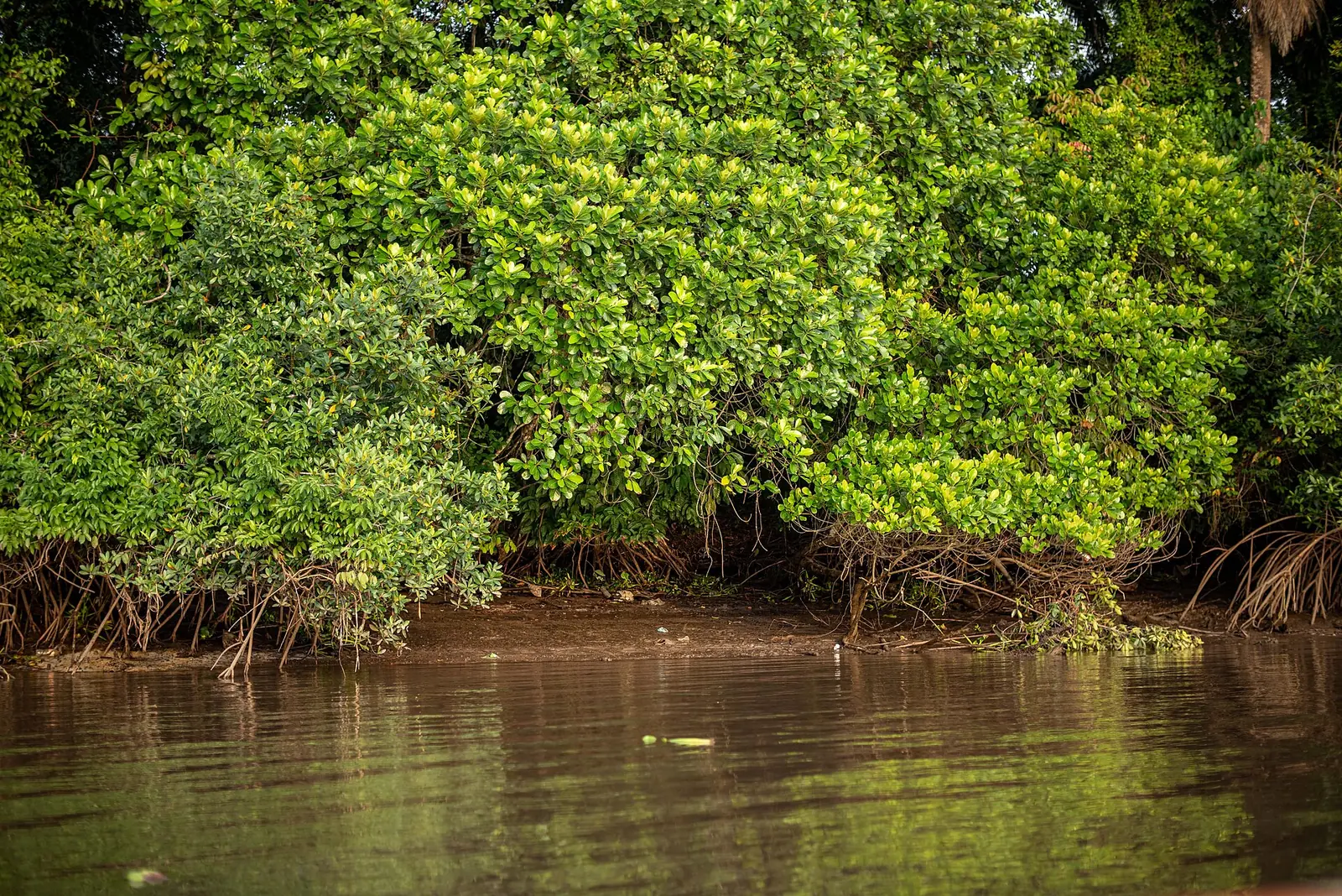
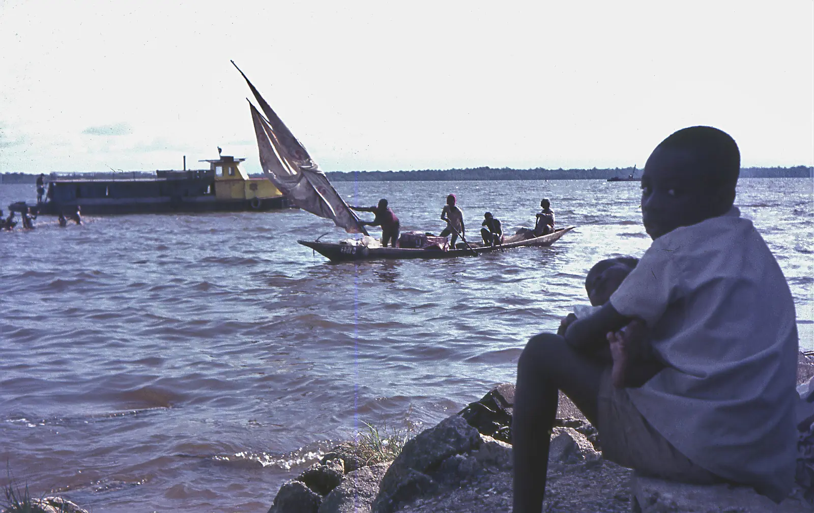
Djébalè, also spelt Jebale, Jébalè or Djambalé, is a river island in the Wouri estuary, attached to the Bonabéri district council, Douala IV. Cameroon Tribune put it about two kilometres from the Bonassama landing stage in 2020, and described a quiet place in contrast to the busy city. Most of its people are fishermen. French Wikipedia lists a health centre and a public primary school.1,2
Population figures vary with the source and the year. A 1970 ORSTOM gazetteer counted 480 people in 1968. After a dispute the village split in two, and the 2005 census counted 150 people in Djébalè I and 23 in Djébalè II. A local account from the same year put the island's wider community at about 2,000, fewer than one in ten living there all year, and spoke of young people leaving. Cameroon Tribune gave nearly 300 permanent residents in 2020.1,2
Church and shrine
French Wikipedia says the island's old church, a Catholic church built by the Germans in 1882, now serves the Evangelical Church of Cameroon. Cameroon Tribune mentions remains of the German colonial period among the things visitors are shown, without listing them.1,2
The island holds a shrine of the jengu, a Sawa brotherhood whose senior initiates are, in French Wikipedia's words, the only ones able to communicate with the water spirits; they are linked to the Ngondo ceremony held on the river. According to Osidimbea, the centre of the Ngondo's water cult was first at Bonamouti, in Akwa, and moved to Jebalè after steamships arrived on the Wouri.1,3
Visiting
Canoes leave from Bonassama, in Bonabéri. French Wikipedia, citing accounts from 2005 and 2012, gives about 45 minutes by paddle and about 15 minutes with an outboard motor. In November 2020 Cameroon Tribune reported about thirty visitors, mostly Cameroonian, landing almost every weekend, up from one trip every four or five weeks; it credited the Musina festival, launched in 2018, and social media. Visits took in German colonial remains, traditional medicine, fresh produce from the river and the Ngondo shrine. We found no published prices, and no confirmation that the festival still runs.1,2
The regional tourism delegation lists the island among the main tourist sites of the Littoral, in a table published by the national statistics institute in 2023.4
In pictures
Map
What visitors say
We summarise accounts published elsewhere and link to the original. These aren't reviews collected by this site, and we don't show a rating.
We haven't yet found a published visitor account for this place.
Check before you go
Our sources can't yet confirm these points:
- The 1882 date and German origin of the church, which come from French Wikipedia and its sources
- Whether the jengu shrine can be seen by visitors, and any rules for visiting it
- Current canoe fares and crossing times from Bonassama
- Whether the Musina festival still takes place
- The island's area: French Wikipedia gives 80 km², which we could not check
- A current population figure
Also nearby
Sources for this page
Information checked on 18 November 2026. It may have changed since.
- Djébalè (citing ORSTOM 1970, the 2005 BUCREP village list, peuplesawa.com 2005 and camerlex.com 2012), Wikipedia (French) (24 October 2026)
- Jébalè : une île, un trésor (public excerpt), Rita Diba, Cameroon Tribune (19 November 2020)
- Ngondo, assemblée traditionnelle du peuple sawa, Osidimbea, la mémoire du Cameroun (undated)
- Le Littoral en chiffres, édition 2023: Tableau 5-1, main tourist sites in the region (source DRTOUR LT), Institut national de la statistique, Agence régionale du Littoral (undated)
- Djébalè island and village, map search made by us on 18 November 2026, OpenStreetMap contributors / Nominatim (18 November 2026)
Enquire about Djébalè island
Visit Djébalè island
Plan your trip to Djébalè island in the Littoral Region. Send us an enquiry about guided tours, accommodation and transport, and we'll reply by email.
Send an enquiryLittoral Region
Capital: Douala
Cameroon's economic centre, around the port city of Douala and the Wouri Estuary, with Sawa and Bassa heritage, the Ngondo festival and the Sanaga River at Edéa.
More places in the Littoral Region
Douala Maritime Museum
A ship-shaped museum in Douala's Bonanjo district on Cameroon's coast, ports and ships, with a recreated ship's bridge and a navigation simulator.
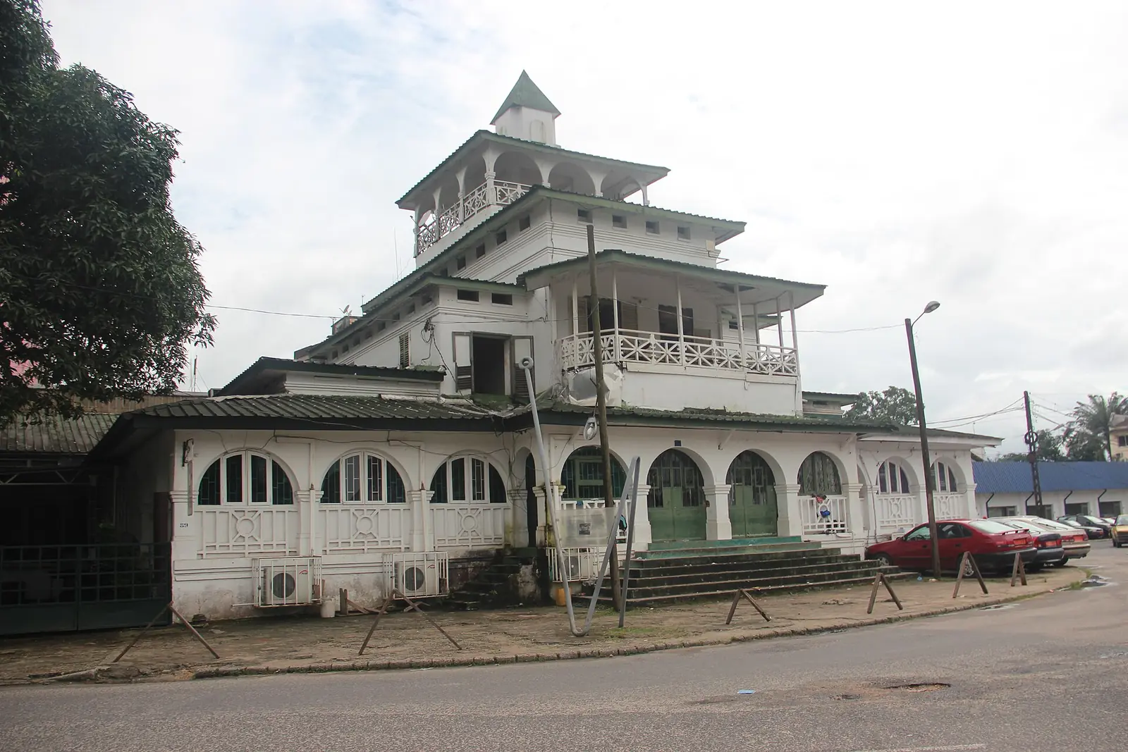
La Pagode (Palace of King Bell)
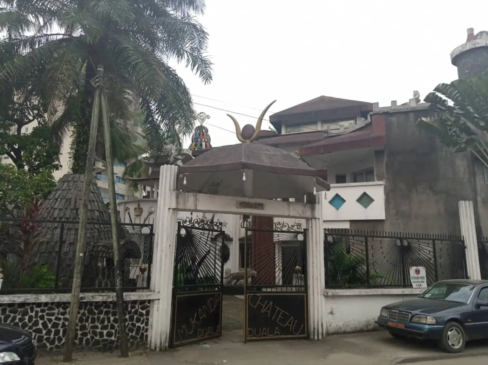
The former palace of the Bell kings in Bonanjo, Douala, built in 1905 and still owned by the Bell family. It was home to Rudolf Duala Manga Bell, hanged by the German authorities in 1914.
Ekom-Nkam Waterfalls
A waterfall of about 80 m on the Nkam river near Melong, set in forest and used as a filming location for Greystoke (1984). A second fall runs beside it in the rainy season.
Wouri Estuary
The tidal estuary where the Wouri, Mungo and Dibamba meet the Atlantic at Douala, lined with mangroves and fishing villages, and the source of Cameroon's name.