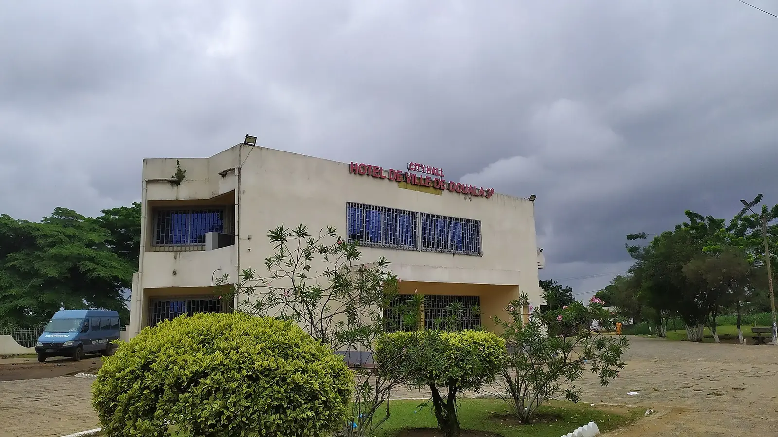
Douala III, the city's most populous subdivision: the Bassa industrial zone, Ndokoti junction, Logbaba and Japoma, out to the Dibamba river.
What to see
1 places in Douala III, each with its sources.
- Council created
- 1987; Douala V carved out of it in 19931
Where it is
Douala III is the south-eastern part of the city. The Dibamba river bounds it to the south and east, and the Kambo, the Missipi and an arm of the Wouri drain it. It borders four other Douala subdivisions and two communes of Sanaga-Maritime. Its council was created in 1987 under decree 87/1366; in 1993 part of its territory became Douala V, under decree 93/321 of 25 November 1993. French Wikipedia and OpenStreetMap place the town hall at Logbaba, on the Japoma road, while Osidimbea gives Ndogbong.1,2,3,4
The 2005 census counted 646,347 people, more than in any other subdivision of the Littoral. The statistics office gives an area of 399 km², French Wikipedia 168.14 km². French Wikipedia describes a population from all over Cameroon and from neighbouring and West African countries, alongside the indigenous Bassa and Bakoko, growing by more than 4% a year.5,1
Valentin Epoupa Bossambo has been mayor since 2020, after Job Théophile Kwapnang (2013–2020), Oumarou Fadil (2007–2013), Lazare Souop (2002–2007) and Ndongo Diye (1996–2002), according to Osidimbea. In June 2026 Cameroon Tribune reported the council's tenth citizens' dialogue, in the town hall's Madiba Songue auditorium, where solar street lighting, flooding and drains were discussed. Councils elected in February 2020 have had their mandate extended to 28 February 2027.4,7,8
Quarters
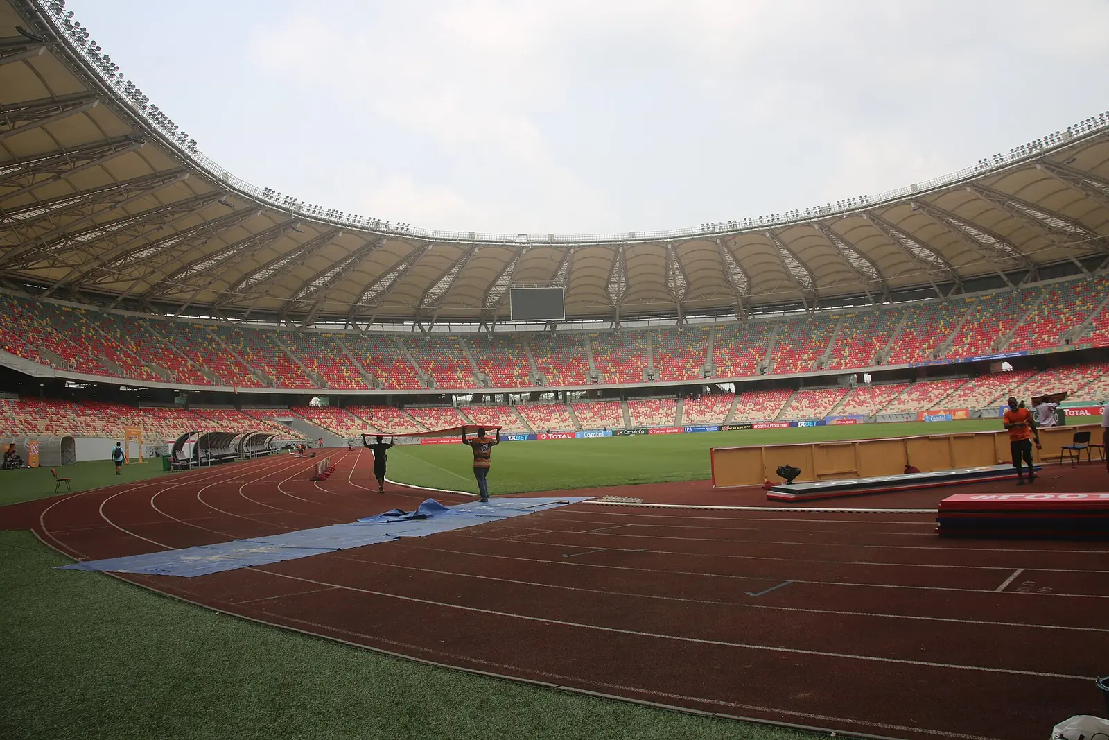
French Wikipedia counts 105 quarters in 19 villages, among them Logbaba, Ndokoti, Ndogpassi, Ndogbong, Nyalla, Cité des Palmiers, Bonanloka, Madagascar, Mboko, Yassa, Japoma, Tergal, Ngodi Bakoko and the roadside settlements named after their distance from the city, from PK8 to PK21. Ndokoti has the city's largest and busiest junction. Logbaba holds the town hall, the sub-prefecture and part of the industrial zone. Japoma, once a village on the Dibamba, has been urbanising since the multisports complex was built; it counted 10,440 people in 2005. The Bassa and the Bakoko each have a first-class chiefdom here.1,9,2,10
Industry and services
The Douala-Bassa industrial zone, one of the largest in the country, is here: flour mills, breweries, soap works, metalworking, packaging, fuel and food industries. A 2007 study cited by French Wikipedia credited Bassa with 89 industrial units and 25% of the city's industrial output. Power comes from the Logbaba thermal and gas plants and the Yassa-Dibamba thermal station, opened in 2009. At Japoma, the water company has treated water from the Dibamba since 1954. Logbaba district hospital and the district hospital at Cité des Palmiers serve the area.11,2,9,10,4
What to see
Getting around
Map
What visitors say
We summarise accounts published elsewhere and link to the original. These aren't reviews collected by this site, and we don't show a rating.
We haven't yet found a published visitor account for this place.
Check before you go
Our sources can't yet confirm these points:
- The council's seat: Logbaba (French Wikipedia, OpenStreetMap) or Ndogbong (Osidimbea)
- Which of the two area figures is right: 399 km² (INS) or 168.14 km² (French Wikipedia)
- Whether passenger trains stop at Japoma station
- The year Ndongo Diye's term began: French Wikipedia leaves it blank, Osidimbea gives 1996
Sources for this page
Information checked on 18 November 2026. It may have changed since.
- Douala III, Wikipedia (French) (20 October 2025)
- Logbaba, Wikipedia (French) (18 September 2025)
- OpenStreetMap Nominatim: searches and reverse lookups for Douala's town halls, quarters and sights, OpenStreetMap contributors / Nominatim (18 November 2026)
- Commune d'arrondissement de Douala 3ème, Osidimbea, la mémoire du Cameroun (undated)
- Annuaire statistique de la région du Littoral, édition 2023: Tableau 2-1 (administrative map), Tableau 4-2 (area and population by arrondissement, 2005 census), Tableau 4-3 (projections 2017–2020) and chapter 1 (relief), Institut national de la statistique, Agence régionale du Littoral (undated)
- Cameroon: administrative division (2005 census by arrondissement, from BUCREP and INS), City Population (Thomas Brinkhoff) (undated)
- Développement local : dialogue citoyen à Douala III, Cameroon Tribune (29 June 2026)
- Mandate of municipal councillors extended from June 1, 2026 to February 28, 2027, CRTV (4 May 2026)
- Quartiers de Douala, Wikipedia (French) (1 October 2026)
- Japoma, Wikipedia (French) (15 April 2026)
- Zone industrielle de Douala-Bassa, Wikipedia (French) (14 May 2026)
- Le Littoral en chiffres, édition 2023: Tableau 5-1, main tourist sites by arrondissement (source DRTOUR LT), Institut national de la statistique, Agence régionale du Littoral (undated)
Planning a trip to Douala III?
Tell us what you'd like to see, and Global Bush Travel will email you a quotation.